Norman Wells Airport
| Norman Wells Airport | |||||||||||
|---|---|---|---|---|---|---|---|---|---|---|---|
 | |||||||||||
|
IATA: YVQ – ICAO: CYVQ – WMO: 71043 | |||||||||||
| Summary | |||||||||||
| Airport type | Public | ||||||||||
| Operator | Government of the Northwest Territories | ||||||||||
| Location | Norman Wells, Northwest Territories | ||||||||||
| Hub for | North-Wright Airways | ||||||||||
| Time zone | MST (UTC−07:00) | ||||||||||
| • Summer (DST) | MDT (UTC−06:00) | ||||||||||
| Elevation AMSL | 237 ft / 72 m | ||||||||||
| Coordinates | 65°16′53″N 126°47′55″W / 65.28139°N 126.79861°WCoordinates: 65°16′53″N 126°47′55″W / 65.28139°N 126.79861°W | ||||||||||
| Map | |||||||||||
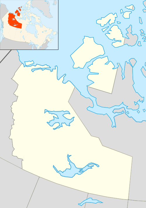 CYVQ Location in the Northwest Territories | |||||||||||
| Runways | |||||||||||
| |||||||||||
| Statistics (2010) | |||||||||||
| |||||||||||
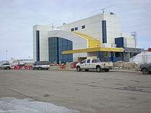
Norman Wells Airport (IATA: YVQ, ICAO: CYVQ) is located adjacent to Norman Wells, Northwest Territories, Canada. North-Wright Airways has its hangar and office adjacent to the airport.
Airlines and destinations
| Airlines | Destinations |
|---|---|
| Canadian North | Edmonton, Inuvik, Yellowknife[4] |
| Discovery Air | Calgary[5] |
| First Air | Inuvik, Yellowknife |
| North-Wright Airways | Deline, Fort Good Hope, Inuvik, Tulita, Yellowknife, on demand service: Colville Lake[6] |
Cargo
| Airlines | Destinations |
|---|---|
| Buffalo Airways | Yellowknife |
Accidents and incidents
On 5 January 1972, Douglas C-47B CF-KAH of Mackenzie Air was damaged beyond economic repair at Norman Wells Airport.[7]
See also
References
- ↑ Canada Flight Supplement. Effective 0901Z 15 September 2016 to 0901Z 10 November 2016
- ↑ Synoptic/Metstat Station Information
- ↑ Total aircraft movements by class of operation — NAV CANADA flight service stations
- ↑ Flight Schedule and Route Map.
- ↑ "New direct flight to Sahtu caters to oil execs". CBC. 2013-11-07.
- ↑ North-Wright Airways flight schedule
- ↑ "CF-KAH Accident description". Aviation Safety Network. Retrieved 5 September 2010.
External links
- Past three hours METARs, SPECI and current TAFs for Norman Wells Airport from Nav Canada as available.
| By name | |
|---|---|
| By location indicator | |
| By province/territory | |
| By region | |
| National Airports System | |
| Related | |
| |
This article is issued from Wikipedia - version of the 12/4/2016. The text is available under the Creative Commons Attribution/Share Alike but additional terms may apply for the media files.