Nandasmo
| Nandasmo | |
|---|---|
| Municipality | |
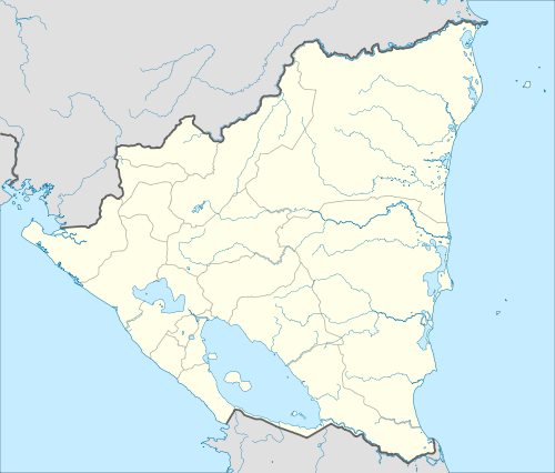 Nandasmo Location in Nicaragua | |
| Coordinates: 11°56′N 86°07′W / 11.933°N 86.117°W | |
| Country |
|
| Department | Masaya |
| Area | |
| • Municipality | 7 sq mi (18 km2) |
| Population (2005) | |
| • Municipality | 10,732 |
| • Density | 1,500/sq mi (600/km2) |
| • Urban | 3,309 |
Nandasmo is a municipality in the Masaya department of Nicaragua.
Coordinates: 11°56′N 86°07′W / 11.933°N 86.117°W
Nandasmo is situated among the "Pueblos Blancos" (white villages) on the main road from Masaya to Diriamba.
Colonial Church of S. Pedro, built in the earlier XIX. 16,000 ha, mainly artisans (woodcraft - souvenirs). Main agricultural production: citrus (oranges, tangerines, lemons, grapefruits, bananas) red beans and coffee.
The large village Pio XII is part of the Nandasmo Municipality.
Capital: Masaya | ||
| Municipalities | 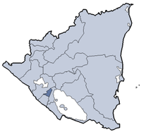 | |
This article is issued from Wikipedia - version of the 2/1/2014. The text is available under the Creative Commons Attribution/Share Alike but additional terms may apply for the media files.