Masatepe
| Masatepe Matepalete or Popocatepelt | |
|---|---|
| Municipality | |
|
Sunset over Masatepe. Visible on the power lines is the curious grass that grows on them there | |
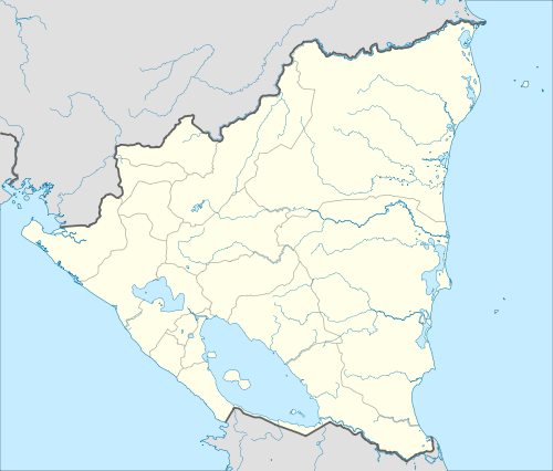 Masatepe Location in Nicaragua | |
| Coordinates: 11°55′N 86°09′W / 11.917°N 86.150°W | |
| Country |
|
| Department | Masaya |
| Area | |
| • Municipality | 23 sq mi (59 km2) |
| Population (2005) | |
| • Municipality | 31,583 |
| • Urban | 15,482 |

Masatepe (Spanish pronunciation: [masaˈtepe]) Masatepe is one of the nine municipalities of the Department of Masaya in Nicaragua. It is located on the plateau of the villages 50 kilometers from Managua along the road to Masaya. It belongs to the tourist corridor of Los Blancos people. The origin of name Masatepe is derived from nahuatl Mazatl-tepec, «populated deer» or mazatl-tepetl, 'Deer Hill'.
History
The name Masatepelt, meaning in Nahualt: "Deer Mountain". The population of Chorotega origin, settled in the foothills of the Masaya Volcano, it is important to emphasize that in research deeper envelope the Aboriginal time appears the name Masatepelt, but Matepalete or Popocatepelt than in Nahualt means: "Burning Hill".
The ancestors settled from the Laguna de Masaya to the Pochote in the margins of the Masaya Volcano, then was moved to Nimboja and Jalapa.
According to Chronicles of the colony, 1 September 1528 to 5 May 1529, Fray Francisco de Bobadilla visited Matapalete and named a total of 154 aborigines living in the place. In an article of the year 1613 historian Fray Juan Torquemada appears registered as municipality Masatepe.
In 1835 during the modern era and when Nicaragua had only four departments, Masatepe belonged to Granada.
Sports
The town is home of football club Deportivo Masatepe.
External links
- Alcaldía Municipal de Masatepe Official Web Site of Masatepe (Spanish)
- Masatepe.org In the internet since 2001. General Information about the city,photos, videos and much more about this city, including a virtual tour (Spanish)
- MasatepeCity.com Information and videos of Masatepe (Spanish)
- Web site of the Partnerschaftsverein Kreis Gross-Gerau - Masatepe (German, Spanish)
Coordinates: 11°55′N 86°09′W / 11.917°N 86.150°W
Capital: Masaya | ||
| Municipalities | 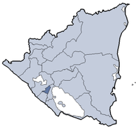 | |