Musa Dağı (Antalya Province)
| Musa Dağı | |
|---|---|
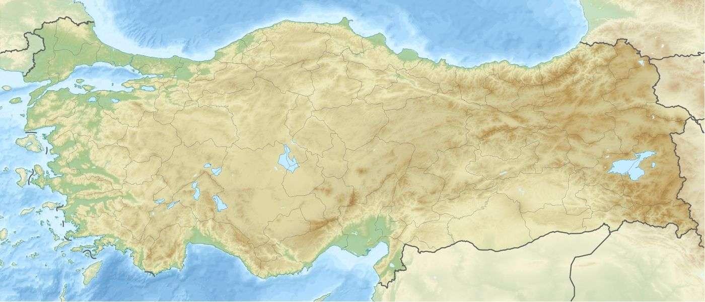 Musa Dağı Location in Turkey | |
| Highest point | |
| Elevation | 997 m (3,271 ft) |
| Coordinates | 36°21′22″N 30°29′20″E / 36.35611°N 30.48889°ECoordinates: 36°21′22″N 30°29′20″E / 36.35611°N 30.48889°E |
| Naming | |
| Translation | Mountain of Moses |
| Geography | |
| Location | Adrasan, Antalya Province, Turkey |
Musa Dağı (English: Mountain of Moses) is a mountain near Adrasan in Antalya Province, Turkey. The Lycian Way long distance trail runs over the western slope of the mountain.
Geography
The mountain lies close to the shore, northeast of Adrasan. Its tallest peak is Eren Tepe at 997 metres (3,271 ft).[1]
References
Sources
- Adak, Mustafa (2004). "Lokalisierung von Olympos und Korykos in Ostlykien". Gephyra (in German). 1 (1).
This article is issued from Wikipedia - version of the 7/16/2015. The text is available under the Creative Commons Attribution/Share Alike but additional terms may apply for the media files.