Mount Cooke
| Mount Cooke | |
|---|---|
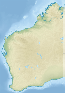 Mount Cooke Location in Western Australia | |
| Highest point | |
| Elevation | 582 m (1,909 ft) |
| Prominence | 582 m (1,909 ft) |
| Coordinates | 32°25′26″S 116°18′45″E / 32.42389°S 116.31250°ECoordinates: 32°25′26″S 116°18′45″E / 32.42389°S 116.31250°E |
| Geography | |
| Location | Western Australia |
| Parent range | Darling Range |
Mount Cooke, near Jarrahdale, Western Australia, is the highest point on the Darling Scarp at 582 metres (1,909 ft). It was named after William Ernest Cooke, Western Australia's first Government Astronomer.
Mount Cooke is well known for its walk track which is part of the Bibbulmun Track.[1] The Bibbulmun walk track leads from a parking and picnic area, and goes thousands of metres through the Jarrah forest, coloured with a host of wildflowers in all seasons, to the summit of Mount Cooke.
Mount Cooke is within the Monadnocks Conservation Park[2] and administered by the Department of Environment and Conservation.
See also
References
- ↑ "Mount Cooke Walk". walkgps.com. Retrieved 2008-10-17.
- ↑ "Monadnocks Conservation Park - Perth Region Plant Biodiversity Project Jarrah Forest Reference Sites" (PDF). Western Australia Local Government Association. December 2006. Archived from the original (PDF) on 2008-07-21. Retrieved 2008-10-17.
This article is issued from Wikipedia - version of the 9/8/2016. The text is available under the Creative Commons Attribution/Share Alike but additional terms may apply for the media files.