Mitchell, Illinois
| Mitchell | |
| CDP | |
| Country | United States |
|---|---|
| State | Illinois |
| County | Madison |
| Coordinates | 38°45′50″N 90°04′55″W / 38.76389°N 90.08194°WCoordinates: 38°45′50″N 90°04′55″W / 38.76389°N 90.08194°W |
| Area | 0.588 sq mi (1.52 km2) |
| - land | 0.588 sq mi (2 km2) |
| - water | 0 sq mi (0 km2), 0% |
| Population | 1,356 (2010) |
| Density | 2,306.1/sq mi (890.4/km2) |
| Timezone | CST (UTC-6) |
| - summer (DST) | CDT (UTC-5) |
| Postal code | 62040 |
| Area code | 618 |
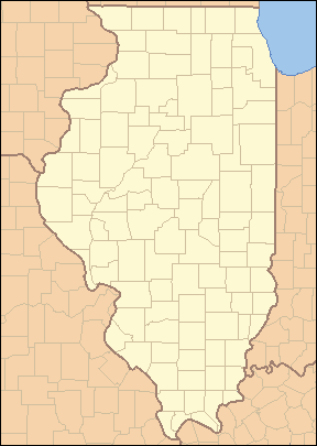 Location of Mitchell within Illinois | |
 Location of Illinois in the United States | |
Mitchell, Illinois is an unincorporated census-designated place in Madison County, Illinois. Mitchell is located at the junction of Interstate 270 and Illinois Route 203, part of former U.S. Highway 66. It is located about twenty miles (32 km) north of East St. Louis, and is part of the Metro East region of greater St. Louis. As of the 2010 census, its population was 1,356.[1]
Neighboring towns include Granite City, Pontoon Beach, Edwardsville, and Hartford. A few years ago, Mitchell tried to become an independent city, but that vote was never allowed because of court challenges from nearby communities.
The lone school in the town is Mitchell School and its mascot is the Bulldog. Nearby town to the east is the Gateway Commercial Business Center, a place of trucking companies and more. Also located in Mitchell is the Luna Cafe, a historic landmark along old Route 66.
References
- ↑ "American FactFinder". U.S. Census Bureau. Retrieved 15 March 2011.
Municipalities and communities of Madison County, Illinois, United States | ||
|---|---|---|
| Cities | ||
| Villages | ||
| Townships | ||
| CDPs | ||
| Other unincorporated communities |
| |
| Footnotes | ‡This populated place also has portions in an adjacent county or counties | |