Minto Inlet
| Minto Inlet | |
|---|---|
 Location | |
| Location | Victoria Island |
| Coordinates | 71°15′N 117°0′W / 71.250°N 117.000°WCoordinates: 71°15′N 117°0′W / 71.250°N 117.000°W |
| Ocean/sea sources | Amundsen Gulf |
| Basin countries | Northwest Territories, Canada |
| Max. length | 121 km (75 mi) |
| Max. width | 19 km (12 mi) |
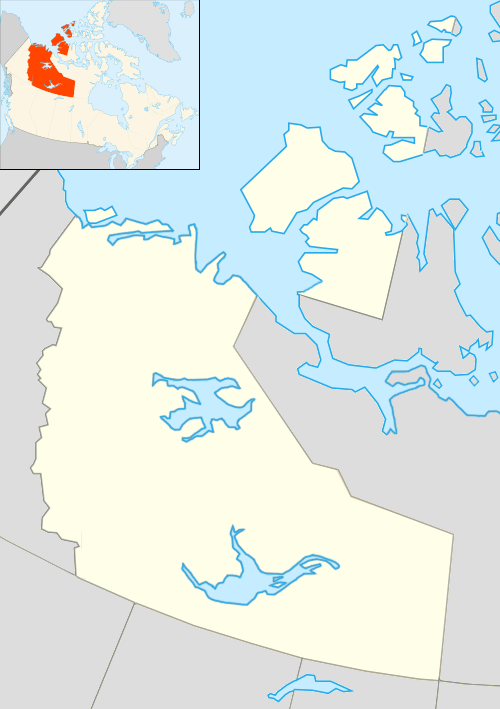
Minto Inlet is located east of Amundsen Gulf in western Victoria Island, at the southern end of Prince of Wales Strait in the Northwest Territories. It is 75 miles (121 km) long and between 8–25 mi (13–40 km) wide.[1]
The inlet is part of the historical territory of the Copper Inuit. It continues to be notable for the Minto Inlet caribou herd calving grounds.[2] Richard Collinson wintered here in 1851/52.
_(20511445502).jpg) Map of the Minto Inlet area. |
References
- ↑ "Minto Inlet". The Columbia Gazetteer of North America. 2000. Retrieved 2008-08-24.
- ↑ Nishi, John; Buckland, L. (June 1994). "An Aerial Survey of Caribou on Western Victoria Island". nwtwildlife.com. Archived from the original on November 17, 2004. Retrieved 2008-08-24.
Further reading
This article is issued from Wikipedia - version of the 10/16/2016. The text is available under the Creative Commons Attribution/Share Alike but additional terms may apply for the media files.