Miniss River
| Miniss River | |
| River | |
| Country | Canada |
|---|---|
| Province | Ontario |
| Region | Northwestern Ontario |
| District | Thunder Bay |
| Part of | James Bay drainage basin |
| Tributaries | |
| - left | St. Raphael River |
| - right | De Lesseps River |
| Source | Unnamed lake |
| - elevation | 493 m (1,617 ft) |
| - coordinates | 50°30′00″N 90°41′09″W / 50.50000°N 90.68583°W |
| Mouth | Lake St. Joseph |
| - elevation | 374 m (1,227 ft) |
| - coordinates | 50°54′57″N 90°56′21″W / 50.91583°N 90.93917°WCoordinates: 50°54′57″N 90°56′21″W / 50.91583°N 90.93917°W |
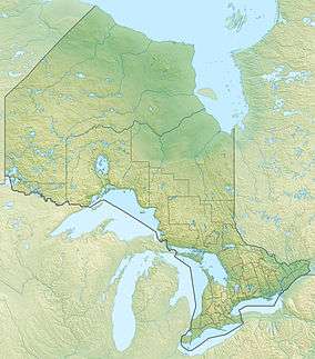 Location of the mouth of the Miniss River in Ontario | |
The Miniss River is a river in the Unorganized Part of Thunder Bay District in Northwestern Ontario, Canada.[1] The river is part of the James Bay drainage basin and is a tributary of Lake St. Joseph.
The river begins at an unnamed lake and flows north to Hill Lake. It turns southwest to Yam Lake, then flows northeast through Hooker Lake and Arc Lake to Miniss Lake, where it takes in the right tributary De Lesseps River. The river heads north, takes in the left tributary St. Raphael River, and reaches its mouth at Miniss Bay on Lake St. Joseph, the source of the Albany River, which flows to James Bay.
Tributaries
- St. Raphael River
- De Lesseps River
References
- ↑ "Miniss River". Geographical Names Data Base. Natural Resources Canada. Retrieved 2015-01-30.
Other map sources:
- Map 16 (PDF) (Map). 1 : 1,600,000. Official road map of Ontario. Ministry of Transportation of Ontario. 2014. Retrieved 2015-01-30.
- Restructured municipalities - Ontario map #1 (Map). Restructuring Maps of Ontario. Ontario Ministry of Municipal Affairs and Housing. 2006. Retrieved 2015-01-30.
This article is issued from Wikipedia - version of the 3/19/2016. The text is available under the Creative Commons Attribution/Share Alike but additional terms may apply for the media files.