Medžitlija
| Medžitlija Меџитлија Mexhitli | |
|---|---|
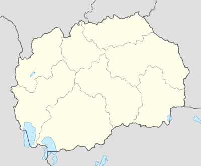 Medžitlija Location within Republic of Macedonia | |
| Coordinates: 40°55′46″N 21°25′45″E / 40.92944°N 21.42917°ECoordinates: 40°55′46″N 21°25′45″E / 40.92944°N 21.42917°E | |
| Country | Republic of Macedonia |
| Municipality | Bitola municipality |
| Elevation | 584 m (1,916 ft) |
| Population (2002) | |
| • Total | 155 |
| Time zone | CET (UTC+1) |
| • Summer (DST) | CEST (UTC+2) |
| Postal code | 7223 |
| Area code(s) | +389 047 |
| Car plates | BT |
| Website | . |
Medžitlija (Macedonian: Меџитлија, Turkish: Mecitli, Albanian: Mexhitli, Greek: Μετζίτλια) is a village situated in the south-west of the Republic of Macedonia, along the border with Greece. The village is located 14 km south of Bitola at the Medžitlija-Níki border crossing.
Past and present
The village exists since the end of the 19th century, when it belonged to the Kazas of Monastir in the Ottoman Empire. Medžitlija was populated by Turks until the 1950s - 1960s when almost all migrated to Turkey and sold their properties to Albanians from the nearby village of Kišava. According to the census of 2002, the village has 155 inhabitants.[1]
Demographics
According to the census of 2002, of the 155 inhabitants:[1]
- Albanians - 154
- Macedonians - 1
References
External links
This article is issued from Wikipedia - version of the 11/29/2015. The text is available under the Creative Commons Attribution/Share Alike but additional terms may apply for the media files.