McLeod, Montana
| McLeod, Montana | |
|---|---|
| Unincorporated community | |
 McLeod, Montana  McLeod, Montana | |
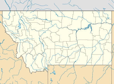
| Coordinates: 45°39′46″N 110°06′58″W / 45.66278°N 110.11611°WCoordinates: 45°39′46″N 110°06′58″W / 45.66278°N 110.11611°W | |
| Country | United States |
| State | Montana |
| County | Sweet Grass |
| Elevation | 4,803 ft (1,464 m) |
| Time zone | Mountain (MST) (UTC-7) |
| • Summer (DST) | MDT (UTC-6) |
| Area code(s) | 406 |
| GNIS feature ID | 786978[1] |
McLeod is an unincorporated community in Sweet Grass County, Montana, United States. McLeod is located on Montana Secondary Highway 298 southwest of Big Timber.
History
Located in resource rich Boulder valley, McLeod was first established as a mining settlement, named after W.F. McLeod with the first Post Office opened in 1886 with E.E. Fowler as Postmaster. In 1916, attempts to drill an oil well on the town site revealed geothermic heated water, and a swimming pool was opened. A post office was again established at McLeod in 1920 and continues operation.
Today, Mcleod is a resort town, bolstering stay in cabins and guest houses, a shop, and basic services.
Climate
This climatic region is typified by large seasonal temperature differences, with warm to hot (and often humid) summers and cold (sometimes severely cold) winters. According to the Köppen Climate Classification system, McLeod has a humid continental climate, abbreviated "Dfb" on climate maps.[2]
References
- ↑ "US Board on Geographic Names". United States Geological Survey. 2007-10-25. Retrieved 2008-01-31.
- ↑ Climate Summary for McLeod, Montana
Municipalities and communities of Sweet Grass County, Montana, United States | ||
|---|---|---|
| City | 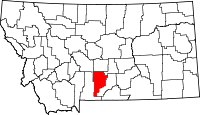 | |
| CDP | ||
| Unincorporated communities | ||