Mansa Airport
| Mansa Airport | |||||||||||
|---|---|---|---|---|---|---|---|---|---|---|---|
| IATA: MNS – ICAO: FLMA | |||||||||||
| Summary | |||||||||||
| Airport type | Public | ||||||||||
| Serves | Mansa | ||||||||||
| Elevation AMSL | 4,100 ft / 1,250 m | ||||||||||
| Coordinates | 11°08′17″S 028°52′34″E / 11.13806°S 28.87611°ECoordinates: 11°08′17″S 028°52′34″E / 11.13806°S 28.87611°E | ||||||||||
| Map | |||||||||||
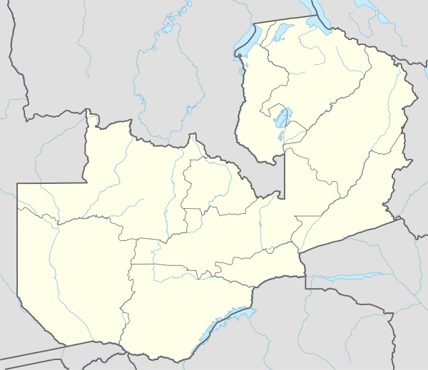 MNS Location of the airport in Zambia | |||||||||||
| Runways | |||||||||||
| |||||||||||
Mansa Airport (IATA: MNS, ICAO: FLMA) is an airport serving Mansa, Luapula Province in Zambia.
References
- ↑ Airport information for FLMA from DAFIF (effective October 2006)
- ↑ Airport information for MNS at Great Circle Mapper. Source: DAFIF (effective October 2006).
- Google Earth
External links
This article is issued from Wikipedia - version of the 12/5/2016. The text is available under the Creative Commons Attribution/Share Alike but additional terms may apply for the media files.