Magongo, Kenya
| Magongo | |
|---|---|
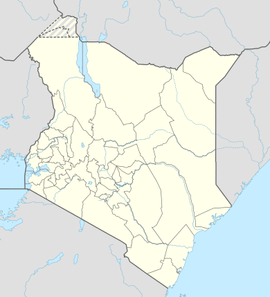 Magongo Location in Kenya | |
| Coordinates: 3°51′S 39°14′E / 3.850°S 39.233°ECoordinates: 3°51′S 39°14′E / 3.850°S 39.233°E | |
| Country |
|
| County | Mombasa County |
| Time zone | EAT (UTC+1) |
Magongo is a town in Mombasa County, Kenya. It is an outlying township 10 minutes northwest of Mombasa Island, situated on the Nairobi road. This fringe community lacks any effective electricity, water or sewer systems, with a general lack of infrastructure. Poverty, lack of sanitation, and unemployment continue to be the greatest issues for the Mikindani Township, which have ensured low health and safety standards for its residents. Poor, lower class housing is widespread, ranging from simple stone, two-storey structures to mud and earth homes fitted with corrugated iron roofs.
Much of the community works outside of the township, within Mombasa Island itself as there is a lack of employment and industry. There are number of small health clinics, shops, and a few public primary schools: Nazarene primary is one school, which is known in particular as being staffed by a revolving volunteer teacher base from Western, and predominately English-speaking nations. This small town serves as a link between the city and Moi International Airport. Magongo is also home to the Akamba Handicraft Cooperative.