Magoe National Park
| Magoe Park National Park | |
|---|---|
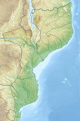 | |
| Location |
|
| Coordinates | 15°59′07″S 31°53′52″E / 15.985356°S 31.897693°ECoordinates: 15°59′07″S 31°53′52″E / 15.985356°S 31.897693°E |
| Area | 3,500 square kilometres (1,400 sq mi) |
| Established | October 20, 2013 |
Magoe National Park is a protected area in Tete Province, Mozambique. The park was proclaimed in October 2013.[1]
Location
The park is 3,500 square kilometres (1,400 sq mi) in area and is situated on the southern banks of the giant Cahora Bassa Dam.[1]
References
- 1 2 "Amid the coal mines, Mozambique stakes out game park". Mail and Guardian. Retrieved 2013-10-20.
This article is issued from Wikipedia - version of the 11/19/2016. The text is available under the Creative Commons Attribution/Share Alike but additional terms may apply for the media files.