Madhepura (community development block)
| Madhepura मधेपुरा | |
|---|---|
| Community development block | |
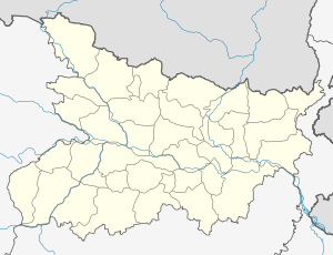 Madhepura  Madhepura Location in Bihar, India | |
| Coordinates: 25°55′01″N 86°46′43″E / 25.91694°N 86.77861°ECoordinates: 25°55′01″N 86°46′43″E / 25.91694°N 86.77861°E | |
| Country |
|
| State | Bihar |
| District | Madhepura |
| Population (2001) | |
| • Total | 194,620 |
| Languages | |
| • Official | Maithili, Hindi |
| Time zone | IST (UTC+5:30) |
| Lok Sabha constituency | Madhepura |
| Vidhan Sabha constituency | Madhepura |
| Website |
madhepura |
Madhepura is one of the administrative divisions of Madhepura district in the Indian state of Bihar. The block headquarters are located at a distance of 2 km from the district headquarters, namely, Madhepura.
Geography
Madhepura is located at 25°55′01″N 86°46′43″E / 25.91694°N 86.77861°E.
Panchayats
Panchayats in Madhepura community development block are: Barahi, Sahugarh 1, Sahugarh 2, Mathahi, Balam Gadhiya, Khopaiti Tuniahi, Sukhasan, Madanpur, Madhuban, Manikpur, Tulsibari rajpur malia, Sakarpura Betona, Mahesua, Dhurgawn, Bhadaul Budhma, Murho,Manpur and Bhelwa.[1]
Demographics
In the 2001 census Madhepura Block had a population of 194,620.[2]
See also
References
- ↑ "Madhepura Block". Blocks of Madhepura. brandbihar.com. Retrieved 2011-02-07.
- ↑ "Republic of India, Bihar". Geo Hive. Retrieved 2011-02-07.
This article is issued from Wikipedia - version of the 9/20/2016. The text is available under the Creative Commons Attribution/Share Alike but additional terms may apply for the media files.