Mabroûk, Mali
| Mabroûk | |
|---|---|
 Mabroûk | |
| Coordinates: ML 19°27′57″N 1°10′11″W / 19.46583°N 1.16972°WCoordinates: ML 19°27′57″N 1°10′11″W / 19.46583°N 1.16972°W | |
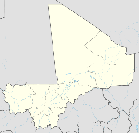
| Country | Mali |
| Region | Tombouctou Region |
| Cercle | Timbuktu Cercle |
Mabroûk is a location in the Tombouctou Region of Mali. An 1880 description said the village was enclosed, with wild palms that produced inedible dates but had useful leaves and branches. Using deep wells, the inhabitants cultivated sorghum, rice, millet and wheat but not barley. Caravans from Ghadames and Rhat would pass through the village, carrying goods from the eastern Sudan to Araouane, five days journey away. The journey from Mabroûk to Timbuktu was over a sandy plain with wells along the way, but they would not be found every day.[1]
The noted Zawāyā cleric Sidi al-Mukhtar al-Kunti (1729-1811) was born in the Erg Oralla region to the north of Mabroûk.[2]
References
Citations
- ↑ Société de géographie (France) 1880, p. 155.
- ↑ Hunwick 2004, p. 613.
Sources
- Hunwick, John (2004). "Mukhtar ibn Ahmad, al-". Holy People of the World: A Cross-Cultural Encyclopedia. ABC-CLIO. ISBN 978-1-57607-355-1. Retrieved 14 February 2013.
- Société de géographie (France) (1880). Bulletin de la Société de géographie. Delagrave. Retrieved 2013-02-14.
This article is issued from Wikipedia - version of the 10/18/2016. The text is available under the Creative Commons Attribution/Share Alike but additional terms may apply for the media files.