Long Marston, Hertfordshire
Coordinates: 51°49′51″N 0°41′45″W / 51.83089°N 0.69593°W
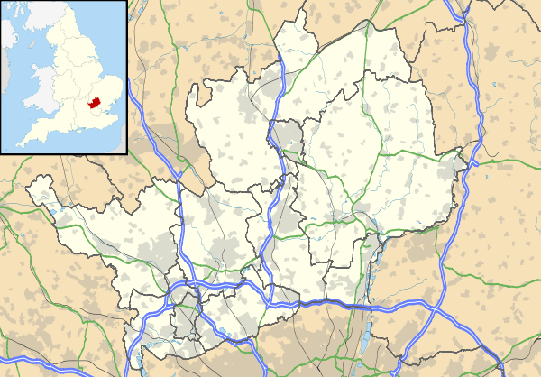
Long Marston is a small village to the north of Tring in Hertfordshire, in the Tring Rural parish council area. At the 2011 Census the population was included in the Borough of Dacorum, Tring West and Rural Ward. It is located roughly 5 miles east of Aylesbury and 11 miles north-west of Hemel Hempstead.
The name of the village is likely to derive from 'Mershton', literally Marsh Farm, a reference to its propensity for flooding . By 1751 this had developed into the name Long Marcon .
Long Marston is also host to a primary school, Long Marston JMI. The school was built after the original school, built during the Victorian era, was bombed during World War Two. The current school, built in 1951, has gradually grown and extended with the village and its population.
Due to transport links improving and more people owning cars, the number of services in Long Marston has slowly diminished. One public house remains, the Queens Head. Historically there were Four. The White Hart and the Rose and Crown shut many years ago, but the Boot was a recent loss and quite a severe one for village life as the local shop and Post Office had been relocated there. Now the nearest stores are Wilstone, Wingrave or Tring.
Long Marston however is home to Long Marston Cricket Club, one of the most affluent village cricket clubs in the Hertfordshire and Buckinghamshire region. The club attracts players of all ages from across the two counties, with many junior teams as well three senior teams which play on Saturdays throughout the summer.
"Straggling crossroads place stuck in the dullish, well-watered flatlands north of Tring. The ruined, ivy-covered flint tower is all that remains of a deserted medieval church - a must for the modern-day follower of the Tour of Dr Syntax (Rowlandson). A new church, uninspired in itself, incorporates fragments of the old - chancel arch and windows - and also the Perpendicular aisle piers from Tring parish church. In the main street are plain cottages, a bit of timber-framing and weather-boarding in good harmony. Some thoughtless new development. "In 1751 the village pond was the scene of England's last witch-lynching, when Ruth Osborn, the 'witch', was captured and drowned. One of her tormentors ended up gibbeted at Gubblecote Cross (1/2 m. E.), close to the moated site of a deserted medieval village." [From Hertfordshire (a Shell Guide),R. M. Healey, Faber & Faber, London, 1982]
More details of this incident, in which elderly husband and wife John and Ruth Osborne were both lynched, is at http://www.longmarston.org/2009/01/the-last-witch-hunt/
External links
![]() Media related to Long Marston, Hertfordshire at Wikimedia Commons
Media related to Long Marston, Hertfordshire at Wikimedia Commons