List of airports in Benin
Bembèrèkè
Cana (Bohicon)
Cadjehoun (Cotonou)
Djougou
Kandi
Natitingou
Parakou
Porga
Savé
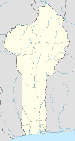
Location of airports in Benin
This is a list of airports in Benin, sorted by location.
Benin, officially the Republic of Benin (French: République du Bénin), is a country in West Africa. It borders Togo to the west, Nigeria to the east and Burkina Faso and Niger to the north; its short coastline to the south leads to the Bight of Benin.
Airports
Airport names shown in bold indicate the airport has scheduled service on commercial airlines.
See also
- Transport in Benin
- List of airports by ICAO code: D#DB - Benin
- Wikipedia: WikiProject Aviation/Airline destination lists: Africa#Benin
References
- "ICAO Location Indicators by State" (PDF). International Civil Aviation Organization. 17 September 2010.
- "UN Location Codes: Benin". UN/LOCODE 2011-2. UNECE. 28 February 2012. - includes IATA codes
- Great Circle Mapper: Airports in Benin - IATA and ICAO codes, coordinates
- Airport records for Benin at Landings.com. Retrieved 2013-08-09
This article is issued from Wikipedia - version of the 5/20/2016. The text is available under the Creative Commons Attribution/Share Alike but additional terms may apply for the media files.