Laurel Airport (Costa Rica)
| Laurel Airport | |||||||||||
|---|---|---|---|---|---|---|---|---|---|---|---|
| IATA: none – ICAO: MRLE | |||||||||||
| Summary | |||||||||||
| Airport type | Public | ||||||||||
| Operator | Dirección General de Aviación Civil | ||||||||||
| Location | Laurel, Costa Rica | ||||||||||
| Elevation AMSL | 20 m / 66 ft | ||||||||||
| Coordinates | 08°26′26″N 082°54′30″W / 8.44056°N 82.90833°WCoordinates: 08°26′26″N 082°54′30″W / 8.44056°N 82.90833°W | ||||||||||
| Map | |||||||||||
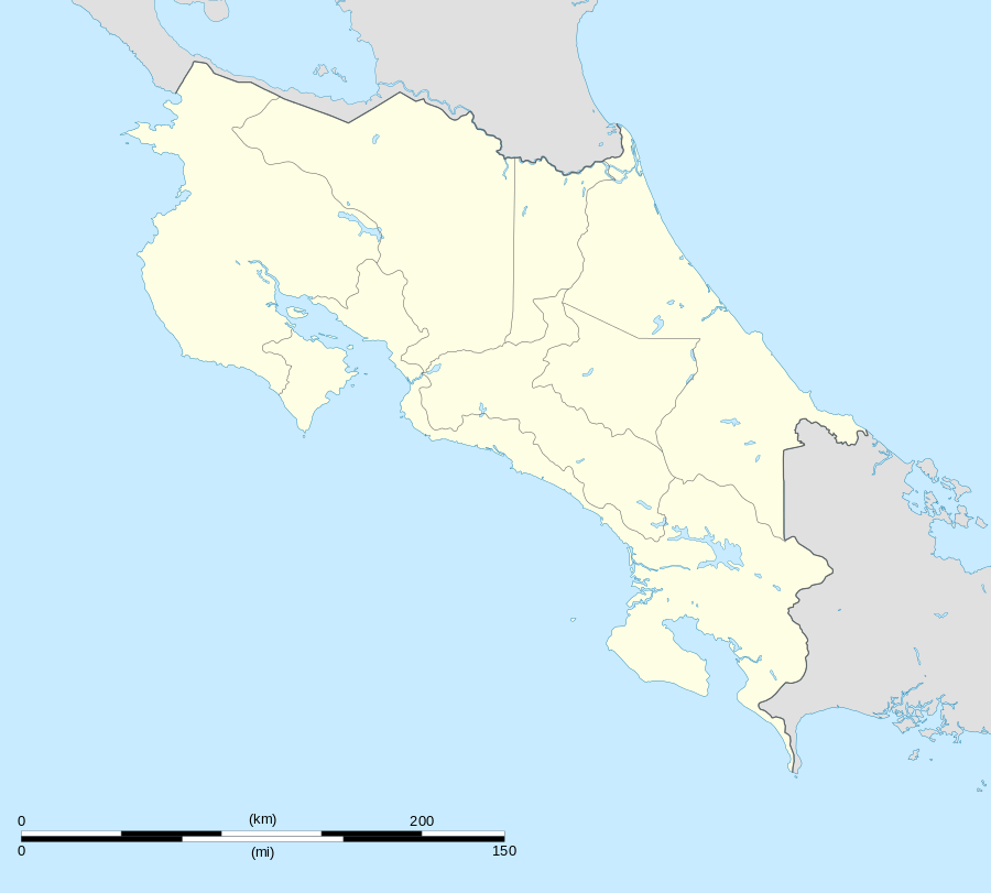 MRLE Location in Costa Rica | |||||||||||
| Runways | |||||||||||
| |||||||||||
Laurel Airport (ICAO: MRLE) is an airport that serves the town of Laurel in Puntarenas Province, Costa Rica, near the border with Panama.
Scheduled Service
None. However, Coto 47 Airport, located 12 miles (19 km) north, receives a daily flight to Golfito and San José operated by SANSA Airlines.
Non-scheduled Service
Most air charter companies offer private air travel to this airport. It can be reached in about an hour from San José depending on the type of aircraft. Alfa Romeo Taxi Aéreo[3] has a twin-engine Piper Aztec based at nearby Coto 47 Airport and a Cessna 206 at Golfito Airport that can reach Laurel much faster.
Facilities
The airport does not have any facilities available for independent travelers. There are hangars on the threshold of runway 11 that support aerial spraying and ultralight aircraft. Contact the National Helicopter Service (Servicio Nacional de Helicópteros) to inquire for possible aircraft or passenger service arrangements. As of January, 2008, no point of contact is available for the ultralight facilities. For food and other services, there are corner stores "pulperías" in the surroundings of the airport. Laurel can be reached within 5 minutes and counts with a variety of food, lodging and miscellaneous services.
How to get there
Bus service is offered from San José and mostly any point along the southern Pan-American Highway. Taxi cabs are available in nearby Laurel.
See also
 Costa Rica portal
 Aviation portal
- Transport in Costa Rica
- List of airports in Costa Rica