Lahar, India
| Lahar लहार | |
|---|---|
| city | |
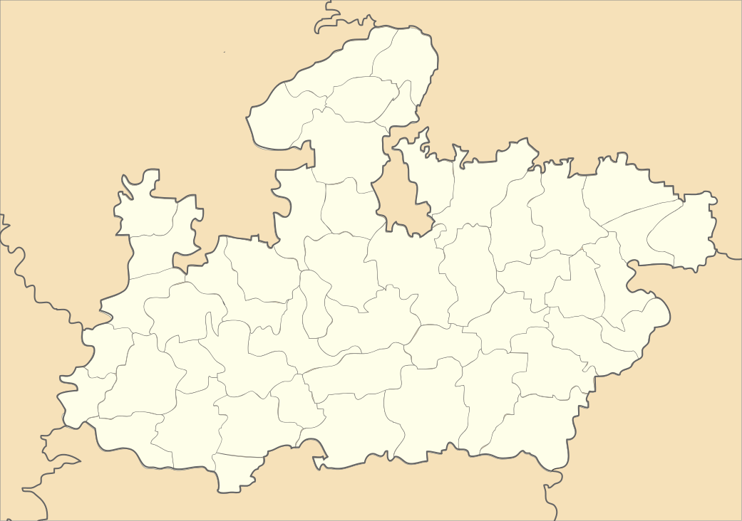
 Lahar  Lahar Location in Madhya Pradesh, India | |
| Coordinates: 26°07′N 78°34′E / 26.11°N 78.56°ECoordinates: 26°07′N 78°34′E / 26.11°N 78.56°E | |
| Country |
|
| State | Madhya Pradesh |
| District | Bhind |
| Elevation | 275 m (902 ft) |
| Population (2011) | |
| • Total |
35,674 area_magnitude= sq. km |
| Languages | |
| • Official | Hindi |
| Time zone | IST (UTC+5:30) |
| PIN | 477445 |
| Telephone code | 07529 |
| ISO 3166 code | IN-MP |
| Vehicle registration | MP-30 |
Lahar is a city and a Nagar Panchayat in Bhind district in the Indian state of Madhya Pradesh.
Geography
Lahar is located at 26°07′N 78°34′E / 26.11°N 78.56°E.[1] It has an average elevation of 275 metres (902 feet). Sports facilities in Lahar include a stadium named after Indira Gandhi.
History
The history of Lahar can be traced back to the Mahabharat era. It is said that the famous Lakchhagrih, (a palace built up of Lakh, which is a highly inflammable material), was built by the Kauravas for Pandavas at the end of their exile. As the legend goes, Kaurav wanted to kill Pandavas by burning them inside the Lakchhagrih. One can still find the pieces of charred lakh in the outskirts of town.
Transport
Nearest Railway Stations are Gwalior(110 km.), Bhind(60 km.) and Jhansi(110 km.). Recently it is connected to the state highway.
Demographics
As of 2001 India census,[2] Lahar had a population of 28,253. Males constitute 54% of the population and females 46%. Lahar has an average literacy rate of 61%, higher than the national average of 59.5%: male literacy is 70%, and female literacy is 50%. In Lahar, 17% of the population is under 6 years of age
Politics
- 1951: Har Sewak, Indian National Congress / Gokul Prasad, Indian National Congress
As a constituency of Madhya Pradesh:
- 1962: Prabhudayal, Indian National Congress
- 1977: Ram Shankar Singh, Janata Party
- 1980: Ram Shankar Chowdhary, Indian National Congress(I)
- 1985: Mathura Prasad Mahant, Bharatiya Janata Party
- 1990: Dr.Govind Singh, Janata Dal
- 1993: Dr.Govind Singh, Indian National Congress
- 1998: Dr.Govind Singh, Indian National Congress
- 2003: Dr.Govind Singh, Indian National Congress
- 2008: Dr.Govind Singh, Indian National Congress
- 2013: Dr.Govind Singh, Indian National Congress
References
- ↑ "Maps, Weather, and Airports for Lahar, India". fallingrain.com.
- ↑ "Census of India 2001: Data from the 2001 Census, including cities, villages and towns (Provisional)". Census Commission of India. Archived from the original on 2004-06-16. Retrieved 2008-11-01.