La Pintada, Colombia
| La Pintada | ||
|---|---|---|
| Municipality and town | ||
 | ||
| ||
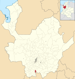 Location of the municipality and town of La Pintada in the Antioquia Department of Colombia | ||
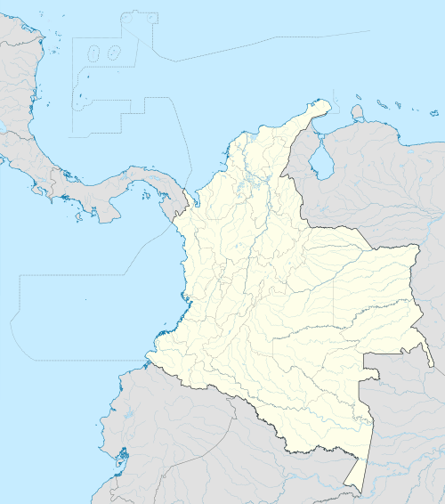 La Pintada Location in Colombia | ||
| Coordinates: 5°44′31″N 75°36′19″W / 5.74194°N 75.60528°W | ||
| Country |
| |
| Department |
| |
| Subregion | Southwestern | |
| Elevation | 600 m (2,000 ft) | |
| Time zone | Colombia Standard Time (UTC-5) | |
.svg.png)
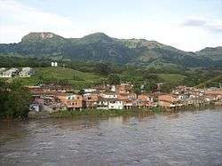
La Pintada (Spanish pronunciation: [la pinˈtaða]); is a town and municipality in the southwest region of the Antioquia department. It is located seventy nine miles away from Medellín and is at an altitude of six hundred meters over sea level. It borders the Fredonia and Santa Bárbara municipalities to the north. The Cauca River goes through the municipality.
Places of interest
- Slopes of the Poblanco and Arma rivers
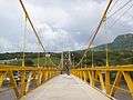
- Yellow hill
- Alejandro López railway station
- El Salto del Caballo
- Acapulco beach
Gallery
| Wikimedia Commons has media related to La Pintada. |
Capital: Medellín | |||||||||||||||||||||||||||||||||||
| Regions and municipalities |
| ||||||||||||||||||||||||||||||||||
| Related topics | |||||||||||||||||||||||||||||||||||
Coordinates: 5°45′N 75°36′W / 5.750°N 75.600°W
This article is issued from Wikipedia - version of the 5/29/2015. The text is available under the Creative Commons Attribution/Share Alike but additional terms may apply for the media files.