Kistrand
| Kistrand Čuđegieddi Ryssämarkka | |
|---|---|
| Village | |
|
View of a building in the village | |
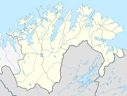 Kistrand  Kistrand Location in Finnmark | |
| Coordinates: 70°26′18″N 25°11′58″E / 70.43833°N 25.19944°ECoordinates: 70°26′18″N 25°11′58″E / 70.43833°N 25.19944°E | |
| Country | Norway |
| Region | Northern Norway |
| County | Finnmark |
| District | Vest-Finnmark |
| Municipality | Porsanger |
| Elevation[1] | 34 m (112 ft) |
| Time zone | CET (UTC+01:00) |
| • Summer (DST) | CEST (UTC+02:00) |
| Post Code | 9713 Russenes |

Kistrand (Northern Sami: Čuđegieddi; Kven: Ryssämarkka) is a village in Porsanger Municipality in Finnmark county, Norway. It is located on the eastern side of the Porsanger Peninsula, along the western shore of the Porsangerfjorden. The village lies along the European route E06 highway, about 10 kilometres (6.2 mi) southeast of the village of Olderfjord.
History
Kistrand was the name of Porsanger Municipality from 1 January 1838 until 1 January 1964 when it was changed to Porsanger. The municipality was named after the parish of Kistrand, based at the Kistrand Church. Originally (in 1838), Kistrand municipality was very large and it encompassed the contemporary municipalities of Porsanger, Nordkapp, Kautokeino, and Karasjok.[2]
References
- ↑ "Kistrand" (in Norwegian). yr.no. Retrieved 2013-03-28.
- ↑ Jukvam, Dag (1999). "Historisk oversikt over endringer i kommune- og fylkesinndelingen" (PDF) (in Norwegian). Statistisk sentralbyrå.