Khairala
| Khairala खैरला | |
|---|---|
| Village development committee | |
 Khairala Location in Nepal | |
| Coordinates: 28°52′N 80°46′E / 28.87°N 80.76°ECoordinates: 28°52′N 80°46′E / 28.87°N 80.76°E | |
| Country |
|
| Zone | Seti Zone |
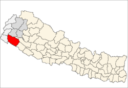
| District | Kailali District |
| Population (1991) | |
| • Total | 3,382 |
| Time zone | Nepal Time (UTC+5:45) |
Khairala is a village development committee in Kailali District in the Seti Zone of western Nepal. At the time of the 1991 Nepal census it had a population of 3382 living in 541 individual households.[1]
References
- ↑ "Nepal Census 2001", Nepal's Village Development Committees, Digital Himalaya, retrieved 15 November 2009.
External links
Headquarter: Dhangadhi | ||
|  | |
This article is issued from Wikipedia - version of the 9/4/2014. The text is available under the Creative Commons Attribution/Share Alike but additional terms may apply for the media files.