Kasuminome Air Field
| Kasuminome Air Field 霞目飛行場 Kasuminome Hikōjō | |||||||||||
|---|---|---|---|---|---|---|---|---|---|---|---|
| IATA: none – ICAO: RJSU | |||||||||||
| Summary | |||||||||||
| Airport type | Military | ||||||||||
| Operator | Japan Ground Self-Defense Force | ||||||||||
| Location | Sendai, Japan | ||||||||||
| Elevation AMSL | 23 ft / 7 m | ||||||||||
| Coordinates | 38°14′08″N 140°55′23″E / 38.23556°N 140.92306°ECoordinates: 38°14′08″N 140°55′23″E / 38.23556°N 140.92306°E | ||||||||||
| Map | |||||||||||
 RJSU Location in Japan | |||||||||||
| Runways | |||||||||||
| |||||||||||
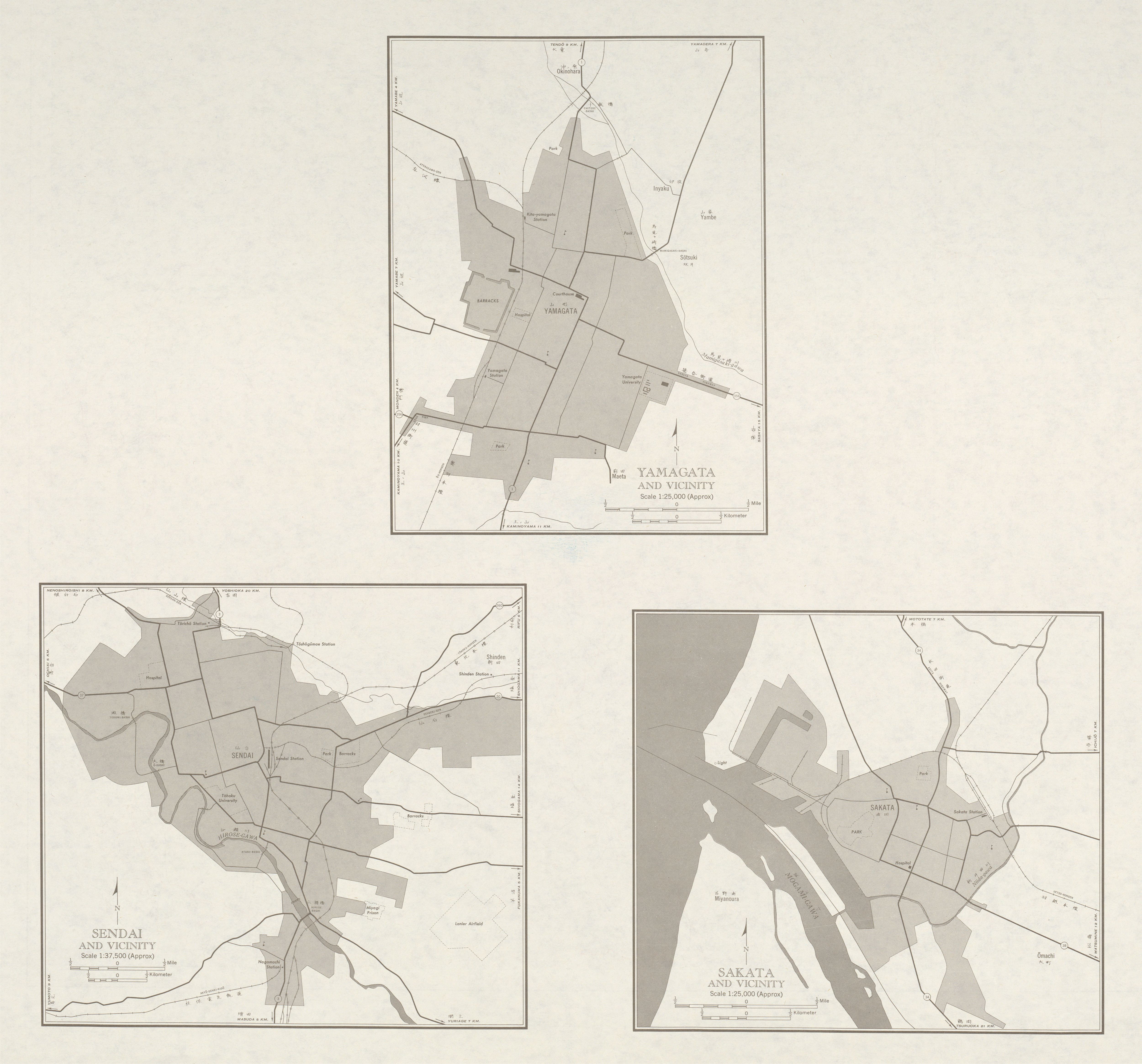
Kasuminome Air Field (霞目飛行場 Kasuminome Hikōjō) (ICAO: RJSU) is a military aerodrome of the Japan Ground Self-Defense Force Camp Kasuminome (霞目駐屯地 Kasuminome Chūtonchi). It is located 2.7 NM (5.0 km; 3.1 mi) southeast[1] of Sendai in the Miyagi Prefecture, Japan.
It was called "Lanier Airfield" by the Allied Powers during the Occupation of Japan.[2]
References
1 Joint civil-military use | |||||||||||
| Major hubs | |||||||||||
| International |
| ||||||||||
| Domestic |
| ||||||||||
| General aviation |
| ||||||||||
| Military | |||||||||||
| Heliports |
| ||||||||||
| Defunct | |||||||||||
This article is issued from Wikipedia - version of the 12/4/2016. The text is available under the Creative Commons Attribution/Share Alike but additional terms may apply for the media files.