Karigasniemi
| Karigasniemi | |
|---|---|
 | |
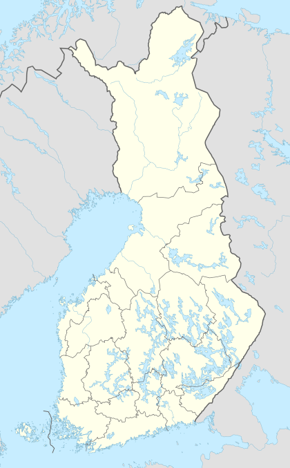 Karigasniemi Location in Finland | |
| Coordinates: 69°23′54″N 25°51′18″E / 69.39833°N 25.85500°ECoordinates: 69°23′54″N 25°51′18″E / 69.39833°N 25.85500°E | |
| Country |
|
| Province | Lapland |
| Municipality | Utsjoki |
| Population | |
| • Total | 300 |
| Time zone | EET (UTC+2) |

Karigasniemi (Northern Sami: Gáregasnjárga) is a village in the municipality of Utsjoki in Finland. It lies at the foot of Mount Ailigás.
The village is situated on the border between Norway and Finland 18 kilometres (11 mi) south-east of the Norwegian village of Karasjok. It lies on the banks of the river Inarijoki (Anarjohka), which, downstream of Karigasniemi, joins the river Karasjohka to form the famous salmon fishing river Tana.
Karigasniemi lies on the road between the Finnish town of Ivalo and Lakselv in Norway. The Red Line bus between Ivalo and Lakselv makes a 15 minutes' stop in front of the Kalastajan Majatalo (Fisherman's Inn).
Karigasniemi is home to about 300 people, of which more than half are Sámi. There are three shops, two petrol stations and five bars and restaurants, mostly because of a lot of border traffic from the Norwegian side. There is also a post office, a school and a small health care center in the village.
Karigasniemi is also a junction point where travellers can choose the road to Nordkapp or other places at the Arctic Ocean.
External links
 Media related to Karigasniemi at Wikimedia Commons
 Karigasniemi travel guide from Wikivoyage