Kallinge
| Kallinge | |
|---|---|
 Kallinge | |
| Coordinates: 56°14′N 15°17′E / 56.233°N 15.283°ECoordinates: 56°14′N 15°17′E / 56.233°N 15.283°E | |
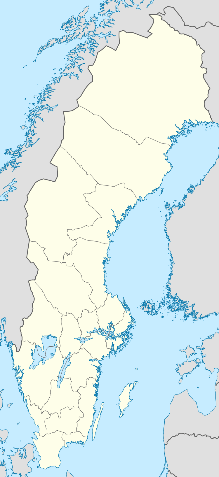
| Country | Sweden |
| Province | Blekinge |
| County | Blekinge County |
| Municipality | Ronneby Municipality |
| Area[1] | |
| • Total | 4.85 km2 (1.87 sq mi) |
| Population (31 December 2010)[1] | |
| • Total | 4,561 |
| • Density | 940/km2 (2,400/sq mi) |
| Time zone | CET (UTC+1) |
| • Summer (DST) | CEST (UTC+2) |
Kallinge is a locality situated in Ronneby Municipality, Blekinge County, Sweden with 4,561 inhabitants in 2010.[1] It is an industrial and garrison town and is situated about 5 km north of Ronneby.
The settlement grew up around an ironworks in the latter half of the 19th century.
Since 1944 Kallinge has had an air force base (F 17 Kallinge). It is also an airport for civil aircraft called Ronneby Airport.
References
- 1 2 3 "Tätorternas landareal, folkmängd och invånare per km2 2005 och 2010" (in Swedish). Statistics Sweden. 14 December 2011. Archived from the original on 10 January 2012. Retrieved 10 January 2012.
This article is issued from Wikipedia - version of the 10/8/2016. The text is available under the Creative Commons Attribution/Share Alike but additional terms may apply for the media files.