Kópasker Airport
| Kópasker Airport | |||||||||||||||
|---|---|---|---|---|---|---|---|---|---|---|---|---|---|---|---|
| IATA: OPA – ICAO: BIKP | |||||||||||||||
| Summary | |||||||||||||||
| Airport type | Public | ||||||||||||||
| Serves | Kópasker | ||||||||||||||
| Elevation AMSL | 20 ft / 6 m | ||||||||||||||
| Coordinates | 66°18′50″N 16°27′50″W / 66.31389°N 16.46389°WCoordinates: 66°18′50″N 16°27′50″W / 66.31389°N 16.46389°W | ||||||||||||||
| Map | |||||||||||||||
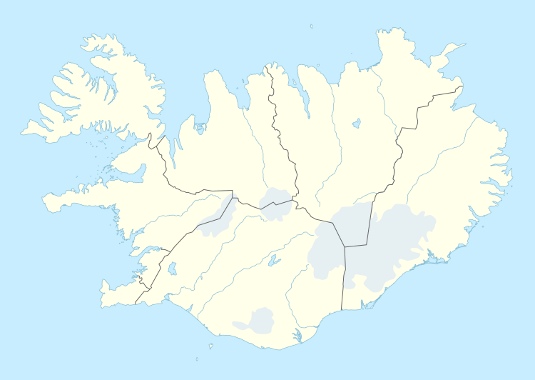 OPA Location of the airport in Iceland | |||||||||||||||
| Runways | |||||||||||||||
| |||||||||||||||
Kópasker Airport (IATA: OPA, ICAO: BIKP) is an airport serving the coastal village of Kópasker, Iceland.
See also
References
- ↑ Google Maps - Kópasker
- ↑ Airport information for OPA at Great Circle Mapper.
- Google Earth
External links
This article is issued from Wikipedia - version of the 12/5/2016. The text is available under the Creative Commons Attribution/Share Alike but additional terms may apply for the media files.