José Enrique Rodó, Uruguay
| José Enrique Rodó | |
|---|---|
| Town | |
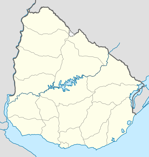 José Enrique Rodó Location in Uruguay | |
| Coordinates: 33°42′0″S 57°32′0″W / 33.70000°S 57.53333°WCoordinates: 33°42′0″S 57°32′0″W / 33.70000°S 57.53333°W | |
| Country |
|
| Department | Soriano Department |
| Population (2011) | |
| • Total | 2,120 |
| Time zone | UTC -3 |
| Postal code | 75202 |
| Dial plan | +598 4538 (+4 digits) |
José Enrique Rodó is a small town in the Soriano Department of western Uruguay.
Location
The town is located on Route 2, about 26 kilometres (16 mi) northwest of Cardona and 70 kilometres (43 mi) southeast of the city of Mercedes.
History
On 12 June 1924, the populated centre was declared a "Pueblo" (village) by the Act of Ley N° 7.729. Previously, it had been head of the judicial sections "San Martin" and "Costa Durazno".[1] On 17 November 1964, its status was elevated to "Villa" (town) by the Act of Ley N° 13.299.[2]
Population
In 2011 José Enrique Rodó had a population of 2,120.[3]
| Year | Population |
|---|---|
| 1908 | 3,113 |
| 1963 | 1,319 |
| 1975 | 1,788 |
| 1985 | 1,661 |
| 1996 | 1,853 |
| 2004 | 2,113 |
| 2011 | 2,120 |
Source: Instituto Nacional de Estadística de Uruguay[1]
Places of worship
- St. Joseph the Worker Parish Church (Roman Catholic)
References
- 1 2 "Statistics of urban localities (1908–2004)" (PDF). INE. 2012. Retrieved 5 September 2012.
- ↑ "LEY N° 13.299". República Oriental del Uruguay, Poder Legislativo. 1964. Retrieved 5 September 2012.
- ↑ "Censos 2011 Cuadros Soriano". INE. 2012. Retrieved 25 August 2012.
External links
Capital: Mercedes | ||
| Towns and villages |  | |
| Sights | ||
This article is issued from Wikipedia - version of the 8/21/2013. The text is available under the Creative Commons Attribution/Share Alike but additional terms may apply for the media files.