Jinotepe, Carazo
| Jinotepe | |
|---|---|
| Municipality | |
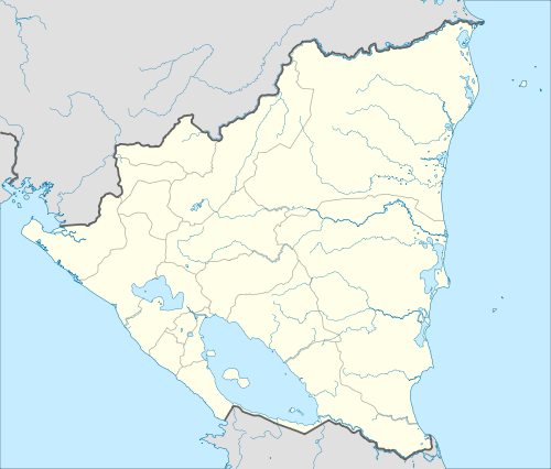 Jinotepe Location in Nicaragua | |
| Coordinates: 11°51′N 86°12′W / 11.850°N 86.200°W | |
| Country |
|
| Department | Carazo Department |
| Area | |
| • Total | 280.52 km2 (108.31 sq mi) |
| Population (2015) | |
| • Total | 52,175 |
| • Density | 190/km2 (480/sq mi) |
Jinotepe (Spanish pronunciation: [xinoˈtepe]) is a city and municipality in the Carazo department of Nicaragua.
It borders with Managua, Masaya, Granada, and Rivas.
Geography
Climate
Managua, like much of Western Nicaragua except for the Sierras, has a tropical climate with constant temperatures averaging between 28 and 32 °C (82 and 90 °F). Under Köppen’s climate classification, the city has a tropical wet and dry climate. A distinct dry season exists between November and April, while most of the rainfall is received between May and October. Temperatures are highest in March and April, when the sun lies directly overhead and the summer rainfall has yet to begin.
| Climate data for Jinotepe, Nicaragua | |||||||||||||
|---|---|---|---|---|---|---|---|---|---|---|---|---|---|
| Month | Jan | Feb | Mar | Apr | May | Jun | Jul | Aug | Sep | Oct | Nov | Dec | Year |
| Average high °C (°F) | 31.0 (87.8) |
32.1 (89.8) |
33.6 (92.5) |
34.3 (93.7) |
34.0 (93.2) |
31.4 (88.5) |
30.9 (87.6) |
31.4 (88.5) |
30.3 (86.5) |
30.8 (87.4) |
30.6 (87.1) |
30.8 (87.4) |
31.8 (89.2) |
| Average low °C (°F) | 20.4 (68.7) |
20.6 (69.1) |
21.7 (71.1) |
22.6 (72.7) |
23.4 (74.1) |
23.0 (73.4) |
22.6 (72.7) |
22.4 (72.3) |
22.2 (72) |
22.1 (71.8) |
20.9 (69.6) |
20.0 (68) |
21.8 (71.2) |
| Average rainfall mm (inches) | 9 (0.35) |
5 (0.2) |
3 (0.12) |
8 (0.31) |
130 (5.12) |
224 (8.82) |
144 (5.67) |
136 (5.35) |
215 (8.46) |
280 (11.02) |
42 (1.65) |
8 (0.31) |
1,204 (47.38) |
| Average rainy days (≥ 1.0 mm) | 1 | 0 | 0 | 0 | 11 | 13 | 15 | 15 | 15 | 15 | 5 | 0 | 90 |
| Average relative humidity (%) | 69 | 64 | 62 | 61 | 70 | 80 | 79 | 81 | 82 | 83 | 78 | 73 | 73.5 |
| Mean monthly sunshine hours | 263.5 | 254.2 | 291.4 | 276.0 | 229.4 | 186.0 | 151.9 | 195.3 | 210.0 | 223.2 | 231.0 | 248.0 | 2,759.9 |
| Source: Wetter Spiegel online[1] | |||||||||||||
Sports
The city is home to football club Xilotepelt. They play their home games at the Estadio Pedro Selva.
International relations
Twin towns – Sister cities
Jinotepe is twinned with:
|
References
- ↑ "Wetter im Detail: Klimadaten". Retrieved May 8, 2013.
Coordinates: 11°51′N 86°12′W / 11.850°N 86.200°W
Capital: Jinotepe | ||
| Municipalities |  | |