Diriamba
| Diriamba | |||
|---|---|---|---|
| Municipality | |||
| |||
| Nickname(s): Birthplace of the national football, of the national hipicas and of the Güegüense. | |||
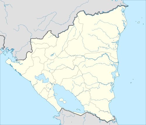 Diriamba Location in Nicaragua | |||
| Coordinates: 11°51′N 86°14′W / 11.850°N 86.233°W | |||
| Country |
| ||
| Department | Carazo Department | ||
| Area | |||
| • Land | 135 sq mi (349 km2) | ||
| Elevation | 1,745 ft (532 m) | ||
| Population (2005) | |||
| • Municipality | 57,542 | ||
| • Urban | 35,222 | ||


Diriamba is a municipality in the Carazo department of Nicaragua, with a population of 57,542 (2005). It is located 41 km west of Managua, the capital of Nicaragua.
Coordinates: 11°51′N 86°14′W / 11.850°N 86.233°W
Geography
The city's elevation (just above 500 meters above sea level), and the geography of the cordillera upon which it sits, lend it a constantly mild weather (though notoriously windy January through March).
Climate
Managua, like much of Western Nicaragua except for the Sierras, has a tropical climate with constant temperatures averaging between 28 and 32 °C (82 and 90 °F). Under Köppen’s climate classification, the city has a tropical wet and dry climate. A distinct dry season exists between November and April, while most of the rainfall is received between May and October. Temperatures are highest in March and April, when the sun lies directly overhead and the summer rainfall has yet to begin.
| Climate data for Diriamba, Nicaragua | |||||||||||||
|---|---|---|---|---|---|---|---|---|---|---|---|---|---|
| Month | Jan | Feb | Mar | Apr | May | Jun | Jul | Aug | Sep | Oct | Nov | Dec | Year |
| Average high °C (°F) | 31.0 (87.8) |
32.1 (89.8) |
33.6 (92.5) |
34.3 (93.7) |
34.0 (93.2) |
31.4 (88.5) |
30.9 (87.6) |
31.4 (88.5) |
30.3 (86.5) |
30.8 (87.4) |
30.6 (87.1) |
30.8 (87.4) |
31.8 (89.2) |
| Average low °C (°F) | 20.4 (68.7) |
20.6 (69.1) |
21.7 (71.1) |
22.6 (72.7) |
23.4 (74.1) |
23.0 (73.4) |
22.6 (72.7) |
22.4 (72.3) |
22.2 (72) |
22.1 (71.8) |
20.9 (69.6) |
20.0 (68) |
21.8 (71.2) |
| Average rainfall mm (inches) | 9 (0.35) |
5 (0.2) |
3 (0.12) |
8 (0.31) |
130 (5.12) |
224 (8.82) |
144 (5.67) |
136 (5.35) |
215 (8.46) |
280 (11.02) |
42 (1.65) |
8 (0.31) |
1,204 (47.38) |
| Average rainy days (≥ 1.0 mm) | 1 | 0 | 0 | 0 | 11 | 13 | 15 | 15 | 15 | 15 | 5 | 0 | 90 |
| Average relative humidity (%) | 69 | 64 | 62 | 61 | 70 | 80 | 79 | 81 | 82 | 83 | 78 | 73 | 73.5 |
| Mean monthly sunshine hours | 263.5 | 254.2 | 291.4 | 276.0 | 229.4 | 186.0 | 151.9 | 195.3 | 210.0 | 223.2 | 231.0 | 248.0 | 2,759.9 |
| Source: Wetter Spiegel online[1] | |||||||||||||
Economy
Historically, Diriamba had mulberry plantations. British writer, John Baily, wrote in 1850 that the plantations lacked in management, and that great amounts of silk could be produced if more care was shown to the plantations.[2]
Attractions
Diriamba is home to three principal churches, one of them being La Basilica de San Sebastian, the foundation stone was laid out in 1891, but the Basilica inaugurated until 1939. Other important landmarks are the clock tower and the former site of the El Aguacate hydroelectric dam, now simply a waterfall.
Sports
The city is home to Nicaragua's most successful football club, Diriangén. They play at the Estadio Cacique Diriangén, located northwest of the city centre.
References
- ↑ "Wetter im Detail: Klimadaten". Retrieved July 19, 2012.
- ↑ Baily, John (1850). Central America; Describing Each of the States of Guatemala, Honduras, Salvador, Nicaragua, and Costa Rica. London: Trelawney Saunders. p. 198.
External links
| Wikimedia Commons has media related to Diriamba. |
Capital: Jinotepe | ||
| Municipalities |  | |