Jakar Dzong
| Jakar Dzong | |
|---|---|
|
Jakar Dzong | |
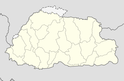 Jakar Dzong Location in Bhutan | |
| Coordinates: 27°32′56″N 90°44′37″E / 27.54889°N 90.74361°ECoordinates: 27°32′56″N 90°44′37″E / 27.54889°N 90.74361°E | |
| Country |
|
| District | Bumthang District |
| Time zone | BTT (UTC+6) |

Jakar Dzong or Jakar Yugyal Dzong is the dzong of the Bumthang District in central Bhutan. It is located on a ridge above Jakar town in the Chamkhar valley of Bumthang. It is built on the site of an earlier temple established by the Ralung hierarch Yongzin Ngagi Wangchuk (1517–1554) when he came to Bhutan. Jakar Dzong may be the largest dzong in Bhutan, with a circumference of more than 1,500 metres (4,900 ft).[1]:168
The name Jakar is derived from the word bjakhab, meaning "white bird", in reference to Jakar's foundation myth, according to which a roosting white bird signaled the proper and auspicious location to found a monastery around 1549.[1]:168
References
- 1 2 Brown, Lindsay; Mayhew, Bradley; Armington, Stan; Whitecross, Richard W. (2007). Bhutan. Lonely Planet Country Guides (3 ed.). Lonely Planet. ISBN 1-74059-529-7. Retrieved 2011-08-09.
External links
This article is issued from Wikipedia - version of the 11/2/2016. The text is available under the Creative Commons Attribution/Share Alike but additional terms may apply for the media files.