Izgrev Airfield
| Izgrev/Kalimantsi Airport | |||||||||||||||
|---|---|---|---|---|---|---|---|---|---|---|---|---|---|---|---|
| IATA: none – ICAO: none | |||||||||||||||
| Summary | |||||||||||||||
| Airport type | Public | ||||||||||||||
| Serves | Izgrev | ||||||||||||||
| Location |
| ||||||||||||||
| Elevation AMSL | 1,168 ft / 356 m | ||||||||||||||
| Coordinates | 43°16′38.5″N 27°42′9.2″E / 43.277361°N 27.702556°ECoordinates: 43°16′38.5″N 27°42′9.2″E / 43.277361°N 27.702556°E | ||||||||||||||
| Map | |||||||||||||||
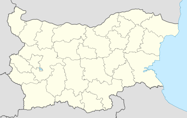 Izgrev Location of Izgrev/Kalimantsi Airport in Bulgaria | |||||||||||||||
| Runways | |||||||||||||||
| |||||||||||||||
Izgrev/Kalimantsi Airport is a public use airport located 1 nm south-southeast of Izgrev, Varna, Bulgaria.
See also
References
- ↑ Airport record for Izgrev/Kalimantsi Airport at Landings.com. Retrieved 2013-08-22
- ↑ Google (2013-08-22). "location of Izgrev/Kalimantsi Airport" (Map). Google Maps. Google. Retrieved 2013-08-22.
External links
- Airport record for Izgrev/Kalimantsi Airport at Landings.com
This article is issued from Wikipedia - version of the 11/9/2016. The text is available under the Creative Commons Attribution/Share Alike but additional terms may apply for the media files.