Huapai
| Huapai | |
|---|---|
 Huapai | |
| Coordinates: 36°46′17″S 174°32′19″E / 36.77139°S 174.53861°ECoordinates: 36°46′17″S 174°32′19″E / 36.77139°S 174.53861°E | |
| Country | New Zealand |
| Region | Auckland Region |
| District | Rodney District |
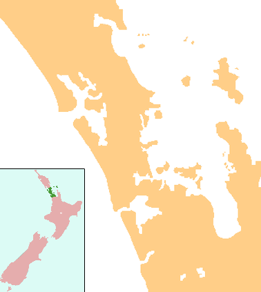
Huapai is a locality north-west of Auckland, New Zealand. State Highway 16 and the North Auckland Railway Line pass through it. Kumeu is adjacent to the east, Riverhead is to the north-east, and Waimauku to the west.[1][2]
The locality is part of the Kumeu wine growing district, with grapes first planted at Huapai by Nikola Nobilo in 1943.[3]
Huapai School
Huapai District School is a coeducational full primary school (years 1-8), with a decile rating of 9 and a roll of 436 in 2013.[4] Huapai School currently hosts 22 classrooms and has a roll of 460 students as of July 2016.[5] The school has one large and one medium-sized field, with soccer and rugby goals respectively, and two playgrounds, with another soon-to-be built adventure playground worth over NZ$50,000. There is a sealed bike track covering the whole school, as well as a BMX track for students. The school also has a tennis / hockey court, swimming pool, flag court, dedicated music suite, professional audio system, and a soon-to-be built completely new administration block including a large library.
References
- ↑ Peter Dowling (editor) (2004). Reed New Zealand Atlas. Reed Books. map 11. ISBN 0-7900-0952-8.
- ↑ Roger Smith, GeographX (2005). The Geographic Atlas of New Zealand. Robbie Burton. maps 34–35. ISBN 1-877333-20-4.
- ↑ "Nobilo History". Nobilo Wines. Archived from the original on 2008-07-19. Retrieved 2008-09-05.
- ↑
- ↑ "Directory of Schools - as at 2 August 2016". New Zealand Ministry of Education. Retrieved 2016-08-16.