Hjärup
| Hjärup / Jakriborg | |
|---|---|
|
New houses soon ready to receive their tenants in 1991 Jakriborg | |
 Hjärup / Jakriborg 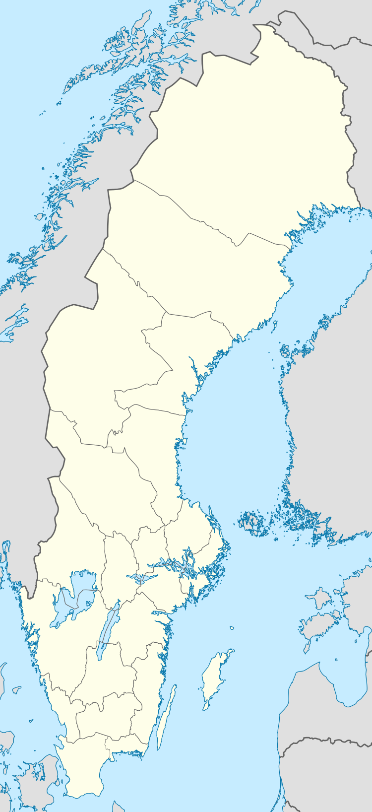 Hjärup / Jakriborg | |
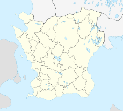
| Coordinates: 55°40′N 13°10′E / 55.667°N 13.167°ECoordinates: 55°40′N 13°10′E / 55.667°N 13.167°E | |
| Country | Sweden |
| Province | Skåne |
| County | Skåne County |
| Municipality | Staffanstorp Municipality |
| Area[1] | |
| • Total | 1.70 km2 (0.66 sq mi) |
| Population (31 December 2010)[1] | |
| • Total | 4,265 |
| • Density | 2,510/km2 (6,500/sq mi) |
| Time zone | CET (UTC+1) |
| • Summer (DST) | CEST (UTC+2) |
.jpg)
Hjärup is, with its more than 4,250 inhabitants, the second largest locality in Staffanstorp Municipality, Scania, Sweden.
Hjärup has a station on the Pågatågen system. The locality has a suburban character with semi-detached houses initially built in the 1960s–1970s on Lundaslätten, the fertile plain south of Lund, initially on land sold off from the farm Hjerup. Hjärup was until the 1990s confined in between the railway and the main road Malmö–Lund. On the other side of the railway, adjacent to Hjärup's station, a district called Jakriborg is now growing.
Hjärup consists of about 1,600 households (2005) with public services chiefly limited to preschools, schools and old people's home, as virtually all inhabitants commute to work in the Greater Malmö metropolitan area. 400 of the dwellings are in the housing estate Jakriborg.
The distance to Lund is 5 km by bike, bus or car — or 3 minutes by train.
The distance to Malmö is about 15 km — or 10 minutes by train.
References
- 1 2 "Tätorternas landareal, folkmängd och invånare per km2 2005 och 2010" (in Swedish). Statistics Sweden. 14 December 2011. Archived from the original on 10 January 2012. Retrieved 10 January 2012.
| Localities | ||
|---|---|---|