Head Lake (Kawartha Lakes)
For other places with the same name, see Head Lake.
| Head Lake | |
|---|---|
| Location | Kawartha Lakes, Ontario, Ontario |
| Coordinates | 44°44′23″N 78°54′50″W / 44.73972°N 78.91389°WCoordinates: 44°44′23″N 78°54′50″W / 44.73972°N 78.91389°W |
| Primary inflows | Head River |
| Primary outflows | Head River |
| Basin countries | Canada |
| Max. length | 5 mi (8.0 km) |
| Max. width | 3 mi (4.8 km) |
| Max. depth | 30 feet (9 m) |
| Surface elevation | 879 feet (268 m) |
| Settlements | Head Lake |
Head Lake is a lake in the city of Kawartha Lakes, in the Canadian province of Ontario.[1][2] It is located between Uphill to the west and Norland to the east. Kawartha Lakes Road 45 (formerly Highway 503) follows the southern and western shoreline of the lake. The community of Head Lake is located on the southern shore of the lake.
The lake is in the Great Lakes Basin and is about 5 km (3.1 mi) wide and 8 km (5.0 mi) long. The primary inflow, at the northeast, and outflow, at the northwest, is the Head River. The Head River flows via the Black River and the Severn River to Georgian Bay on Lake Huron.
References
- ↑ "Head Lake". Geographical Names Data Base. Natural Resources Canada. Retrieved 2012-08-21.
- ↑ "Head Lake". Atlas of Canada. Natural Resources Canada. 2010-02-04. Retrieved 2012-08-21. Shows the area of the lake highlighted on a map.
City of Kawartha Lakes | |||||||||||
|---|---|---|---|---|---|---|---|---|---|---|---|
| Towns | 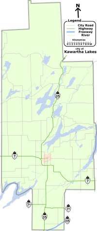 | ||||||||||
| Villages and unincorporated communities |
| ||||||||||
| Former townships | |||||||||||
| Major lakes |
| ||||||||||
| Topics | |||||||||||
1) This area lies on the border of an adjacent region, but is part of the Kawartha Lakes census. | |||||||||||
This article is issued from Wikipedia - version of the 5/20/2016. The text is available under the Creative Commons Attribution/Share Alike but additional terms may apply for the media files.