Havelock, New Zealand
| Havelock | |
|---|---|
|
Havelock seen across Pelorus Sound | |
 Havelock | |
| Coordinates: 41°16′59″S 173°46′0″E / 41.28306°S 173.76667°E | |
| Country | New Zealand |
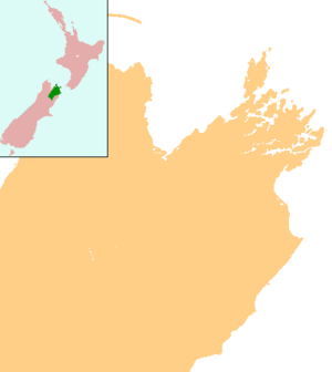
| Region | Marlborough |
| Population (2006) | |
| • Total | 486 |


Havelock is a coastal village in the Marlborough region of New Zealand. It sits at the head of Pelorus Sound, one of the Marlborough Sounds, and at the mouth of the Pelorus and Kaituna Rivers. The population was 486 in the 2006 Census, an increase of 12 from 2001.[1]
State Highway 6 from Nelson to Blenheim passes through the town. Queen Charlotte Drive, which provides a shorter but very winding road to Picton proceeds east along the edge of the Sounds. Canvastown is 10 kilometres (6.2 mi) to the west. Renwick is 31 km (19 mi) to the south. Picton is 35 km to the east.[2][3]
Havelock is the centre for much of the New Zealand green-lipped mussel industry, and is called the greenshell mussel capital of the world.[4] It is also the base of a mail boat servicing the remote communities in the Marlborough Sounds, as well as many fishing and recreational boats.
Havelock was named after Sir Henry Havelock, known from the Siege of Lucknow during the Indian Rebellion of 1857. The streets were laid out in 1858, with the main street being Lucknow Street.[5] The gold rush to the Wakamarina Valley in 1864 led to a growing township, with sawmilling being the main activity until the 1910s, later joined by dairying. The valleys around Havelock contain many pine plantations.
Across the Kaituna River estuary, Cullen Point and Mahakipawa Scenic Reserves offer a coastal walking track to a lookout at Cullen Point.
Notable people
- William Pickering, space scientist and former director of NASA's Jet Propulsion Laboratory[6]
- Ernest Rutherford, Nobel Prize-winning physicist[6]
Education
Havelock School is a coeducational full primary school (years 1-8), with a decile rating of 7 and a roll of 86.[7] The school was founded in 1861.[8]
References
- ↑ Quickstats about Havelock
- ↑ Peter Dowling (editor) (2004). Reed New Zealand Atlas. Reed Books. map 60. ISBN 0-7900-0952-8.
- ↑ Roger Smith, GeographX (2005). The Geographic Atlas of New Zealand. Robbie Burton. map 132, 138. ISBN 1-877333-20-4.
- ↑ "Havelock, Pelorus and Kenepuru Sounds". Destination Marlborough. Retrieved 2010-01-07.
- ↑ Marlborough Historical Society (2005). Click - A Captured Moment - Marlborough's Early Heritage. p. 68. ISBN 0-473-10475-X.
- 1 2 "Famous Students". Havelock School.
- ↑ "Te Kete Ipurangi - Havelock School". Ministry of Education.
- ↑ "RollCall 2011 - Havelock School 150th year Anniversary". Havelock School.
External links
| Wikimedia Commons has media related to Havelock, New Zealand. |
![]() Havelock (New Zealand) travel guide from Wikivoyage
Havelock (New Zealand) travel guide from Wikivoyage
Coordinates: 41°16′59″S 173°46′00″E / 41.28306°S 173.76667°E