Hadejia
| Hadejia | |
|---|---|
| LGA and town | |
| Motto: Majestic City of Stallion | |
 Hadejia | |
| Coordinates: 12°27′N 10°2′E / 12.450°N 10.033°E | |
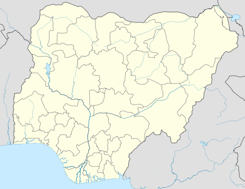
| Country |
|
| State | Jigawa State |
| Time zone | WAT (UTC+1) |
Hadejia (also Hadeja, previously Biram) is a Hausa town in eastern Jigawa State, northern Nigeria. The population was approximately 47,400 in 1991.[1] The people of Hadejia are largely Muslim, although some follow indigenous belief systems. The town lies to the north of the Hadejia River, and is upstream from the Hadejia-Nguru wetlands, an ecologically important and sensitive zone.[2]
Hadejia was once known as Biram, and is referred to as one of the "seven true Hausa states" (Hausa Bakwai),[3] because it was ruled by the descendants of the Hausa mythological figure Bayajidda and his second wife, Daurama.[4] By 1810, during the Fulani War, the Hausa rulers of the Hausa Bakwai had all been overcome by the Fulani.[5] Hadejia Emirate itself had been founded two years earlier, in 1808 and in 1991 was absorbed into Jigawa State. In 1906 Hadejia resisted British occupation, under the then Emir (Muhammadu Mai-Shahada)[1]
Binyaminu Usman Polytechnic is located at Hadejia.[6]
The Duwai language is spoken in Hadejia LGA.[7]
References
- 1 2 "Hadejia". Encyclopædia Britannica. Encyclopædia Britannica, Inc. Retrieved 2006-12-22.
- ↑ Muhammad J. Chiroma, Yahaya D. Kazaure, Yahya B. Karaye, Abba J. Gashua. "Water Management Issues in the Hadejia-Jama'are-Komadugu-Yobe Basin: DFID-JWL and Stakeholders Experience in Information Sharing, Reaching Consensus and Physical Interventions" (PDF). International Water Management Institute. Retrieved 2009-10-03.
- ↑ "Daura". Encyclopædia Britannica. Encyclopædia Britannica, Inc. Retrieved 2006-12-21.
- ↑ Dierk Lange. "Oral version of the Bayajidda legend" (PDF). Ancient Kingdoms of West Africa. Retrieved 2006-12-21.
- ↑ Johnston, H. A. S (1967). "The Consolidation of the Empire". The Fulani Empire of Sokoto. Amana Online. Retrieved 2007-01-21.
- ↑ "About Us". Retrieved 2010-03-17.
- ↑ "Duwai". Ethnologue. Retrieved 2014-05-25.
External links
Coordinates: 12°27′N 10°02′E / 12.45°N 10.04°E
State capital: Dutse | ||
| LGAs |  | |