Gumel
- For the Gummel characteristic of a transistor, see Gummel-Poon Model.
| Gumel Birnin Lautai | |
|---|---|
| LGA and town | |
| Nickname(s): birnin mamman | |
 Gumel | |
| Coordinates: 12°37′42″N 9°23′23″E / 12.62833°N 9.38972°E | |
| Country |
|
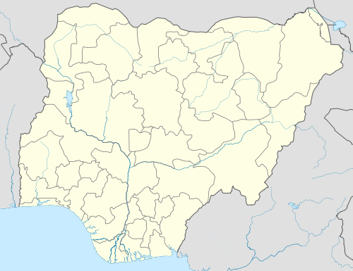
| State | Jigawa State |
| Founded | 1749 |
| Government | |
| • Type | Monarchy |
| • Emir | Ahmad Muhammad Sani II(CON) |
| Time zone | WAT (UTC+1) |
| Website | www.gumel.com |
Gumel or Gumal (as the natives call it) is a town and traditional emirate in Jigawa State, Nigeria.
Geography
Gumel is located 120 km northeast of Kano, and lies about 20 km south of Nigeria's northern border with Niger. As of 2007 the estimated population of Gumel was 44,158.[1]
History
The emirate was founded about 1750 by Dan Juma of Kano city and his followers from the Mangawa tribe. Shortly after his death in 1754, it became a tributary state of the Bornu kingdom. The emirate survived the Fulani attacks of Usman dan Fodio's jihad in the early 19th century and never became part of the Fulani empire of Sokoto. The present day location of Gumel is the result of an 1845 move from the city of Tumbi, which is located in present day Niger. The emirate has frequently been at war with the nearby cities of Hadejia, Danzomo, Kano, and Zinder since 1828. The war with Hadejia continued until the death of Gumel's emir, Abdullahi, in 1872. Before Emir Ahmadu accepted British rule in 1903 frequent slave raids from the town of Zinder were common. In 1976 Gumel became part of Kano State, and since 1991 it has been part of Jigawa State near by Danzomo, Gagarawa, Sule Tankarkar, Maigatari.[2]
The current Emir of Gumel, HRH Alh. Ahmed Mohammed Sani II(CON) is the 16th Emir of Gumel. The Emir is a graduate of Political Science, Ohio State University United States of America. He has a younger brother, Abdullahi Muhammad Sani II who is also a graduate of Electrical Engineering from Michigan State University in the United States. The Emir has been in office since 1981. The Emir's Palace is accessible only to those invited there by the Emir, members of the Royal family, and officials of the Royal court (the emirate council also called the Majlis).
The Gumel Emirate family tree
- 1749 - 1754 Dan Juma I dan Musa
- 1754 - 1760 Adamu Karro dan Digadiga Karro (d. 1760)
- 1760 - 1777 Dan Juma II dan Digadiga Karro
- 1777 - 1804 Maikota dan Adam Karro (d. 1804)
- 1804 - 1811 Kalgo dan Maikota (d. 1811)
- 1811 - 1828 Dan Auwa dan Maikota (d. 1828)
- 1828 - 1851 Muhamman Dan Tanoma dan Maikota (d. 1851)
- 1851 - 1853 Ceri dan Muhamman Dan Tanoma (1st time)
- 1853 - 1855 Muhamman Atu dan Dan Auwa
- 1855 - 1861 Ceri dan Muhamman Dan Tanoma (2nd time)
- 1861 - 1872 `Abd Allahi dan Muhamman Dan Tanoma (d. 1872)
- 1872 - 1896 Abu Bakar dan Muhamman Dan Tanoma (d. 1896)
- 1896 - 1915 Ahmadu dan Abi Bakar
- 1915 - 1944 Muhamman na Kota dan Ahmadu (d. 1944)
- May 1944 - 1981 Maina Muhammad Sani II dan Muhamman na Kota (b. 1912)
- 1981 - Ahmad Muhammad Sani II (CON) dan Maina Muhammad Sani II
Economy
Gumel acts as the region's primary economic center. Sorghum, millet, and peanuts are collected here and trucked to Kano on a secondary highway where they are exported by rail.[2]
References
- ↑ "The World Gazetteer". Archived from the original on 2013-02-10. Retrieved 2007-02-20.
- 1 2 "The Britannica Concise Encyclopedia". Retrieved 2007-02-20.
Coordinates: 12°37′42″N 9°23′23″E / 12.62833°N 9.38972°E
State capital: Dutse | ||
| LGAs |  | |