Guaymaral Airport
| Flaminio S. Camacho Airport Aeropuerto de Guaymaral | |||||||||||
|---|---|---|---|---|---|---|---|---|---|---|---|
| IATA: none – ICAO: SKGY | |||||||||||
| Summary | |||||||||||
| Airport type | Civil, Military | ||||||||||
| Operator | Colombian government | ||||||||||
| Serves | Chía, Cundinamarca, Bogotá, Colombia | ||||||||||
| Elevation AMSL | 2,557 m / 8,389 ft | ||||||||||
| Coordinates | 04°48′41″N 074°03′39″W / 4.81139°N 74.06083°WCoordinates: 04°48′41″N 074°03′39″W / 4.81139°N 74.06083°W | ||||||||||
| Website | www.aerocivil.gov.co | ||||||||||
| Map | |||||||||||
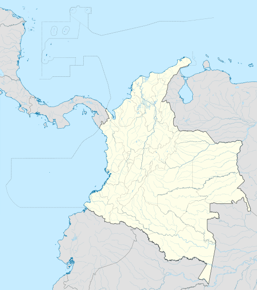 SKGY Location of the airport in Colombia | |||||||||||
| Runways | |||||||||||
| |||||||||||
Guaymaral Airport (ICAO: SKGY) is an airport located in the northwest of Bogotá, Colombia, serving the cities of Cota and Chía, Cundinamarca. The airport handles primarily general aviation traffic, type A and B, only VFR. It's the base for private and commercial pilot training schools like Aeroandes and Aeroclub de Colombia.
Airplanes
See also
This article is issued from Wikipedia - version of the 12/4/2016. The text is available under the Creative Commons Attribution/Share Alike but additional terms may apply for the media files.