El Embrujo Airport
| El Embrujo Airport | |||||||||||
|---|---|---|---|---|---|---|---|---|---|---|---|
 | |||||||||||
| IATA: PVA – ICAO: SKPV | |||||||||||
| Summary | |||||||||||
| Airport type | Public | ||||||||||
| Location | Providencia Island, Colombia | ||||||||||
| Elevation AMSL | 10 ft / 3 m | ||||||||||
| Coordinates | 13°21′25″N 081°21′30″W / 13.35694°N 81.35833°W | ||||||||||
| Website | http://aeropuertosanandres.com/en/aeropuertos/aeropuerto-de-providencia/ | ||||||||||
| Map | |||||||||||
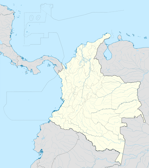 PVA Location of airport in Colombia | |||||||||||
| Runways | |||||||||||
| |||||||||||
El Embrujo Airport (IATA: PVA, ICAO: SKPV) is an airport on Providencia Island, Colombia.
History
Only until the arrival of the governor of the islands of Simon Gonzales in 1984, the airport was given special care. Before that, in the decade of 1970, it had a small aircraft enabled runway, which made the route sporadically due to the indeterminacy of the companies that transported passengers between San Andres and Providencia. Under the rule of Simon Gonzales, the airport was rehabilitated in 1984 by the Architect Ricardo Gonzalez Farah built the airport and expanded the runway about three hundred meters to continue landing craft there little bill. Also rebuilt the passenger terminal in typical Caribbean architecture and was initially named as the Witch, but by popular decision remained the Embrujo. The company, SAM Colombia, then began flights in comfortable aircraft Beach Craft who made the trip in just 14 minutes. For its part put into operation Satena A-100 aircraft that made the trip in 18 minutes. The airport is located in the northwest of the island, near the hill Iron Wood Hill, which is immersed in the natural park Laggoon McBean, just seven minutes from the area of Santa Isabel. Currently the airport was again refurbished by dealer CASIP and improved air terminal facilities.
Airlines and destinations
| Airlines | Destinations |
|---|---|
| Satena operated by Searca | San Andrés |
| Searca | San Andrés |
External links
- Airport information for SKPV at World Aero Data. Data current as of October 2006.