Guava River
| Guava River | |
|---|---|
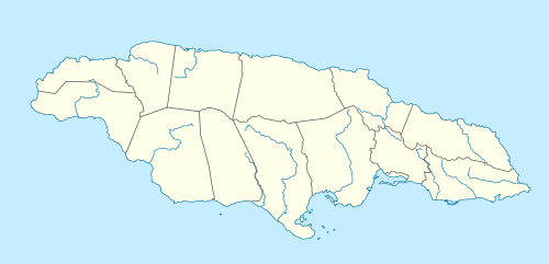
| Country | Jamaica |
| Basin | |
| Main source |
3,000 feet (910 m)[1] 18°02′44″N 76°30′06″W / 18.045461°N 76.501665°W[1] |
| River mouth |
100 feet (30 m)[1] 18°06′19″N 76°27′28″W / 18.105382°N 76.457892°WCoordinates: 18°06′19″N 76°27′28″W / 18.105382°N 76.457892°W[1] |
| Features | |
| Tributaries | |
Source of Guava River
The Guava River rises just north of the Grand Ridge of the Blue Mountains on the border of Portland Parish in Jamaica.[1] From here it runs east then north and then east again to its confluence with the Rio Grande.[1]
As of 2010 there are no roads or settlements visible anywhere along the river's length on satellite imagery[2] or on the earlier maps.[1]
See also
References
- Ford, Jos C. and Finlay, A.A.C. (1908).The Handbook of Jamaica. Jamaica Government Printing Office
External links
This article is issued from Wikipedia - version of the 5/21/2016. The text is available under the Creative Commons Attribution/Share Alike but additional terms may apply for the media files.