Grade I listed buildings in West Yorkshire
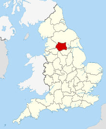
West Yorkshire shown within England
There are over 6000 Grade I listed buildings in England. This page is a list of these buildings in the county of West Yorkshire, by metropolitan district.
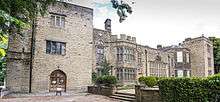
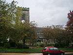
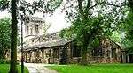
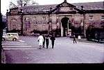
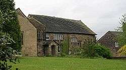
Bradford


.jpg)


.jpg)

.jpg)


Calderdale


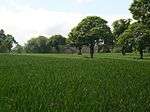


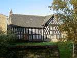
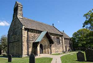
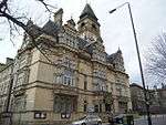
Kirklees


.jpg)


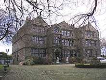
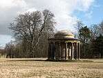
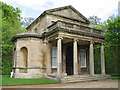
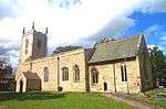
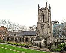
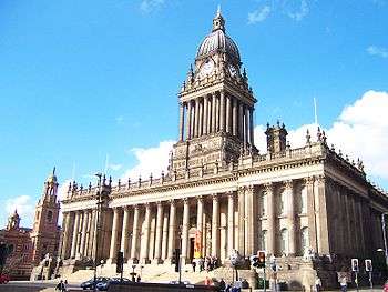
Leeds

.jpg)
.jpg)
.jpg)


.jpg)


_012.jpg)


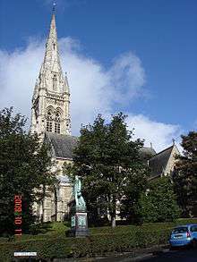
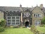
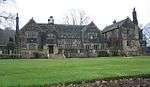
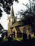
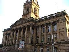
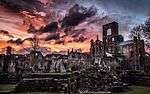
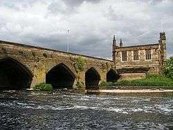
Wakefield
.jpg)


.jpg)


%2C_Wood_Street%2C_Wakefield.jpg)
See also
- Category:Grade I listed buildings in West Yorkshire
- Grade II* listed buildings in West Yorkshire
Notes
- 1 2 3 4 5 The date given is the date used by Historic England as significant for the initial building or that of an important part in the structure's description.
- 1 2 3 4 5 Sometimes known as OSGB36, the grid reference is based on the British national grid reference system used by the Ordnance Survey.
- 1 2 3 4 5 The "List Entry Number" is a unique number assigned to each listed building and scheduled monument by Historic England.
Sources
References
External links
![]() Media related to Grade I listed buildings in West Yorkshire at Wikimedia Commons
Media related to Grade I listed buildings in West Yorkshire at Wikimedia Commons
This article is issued from Wikipedia - version of the 10/19/2016. The text is available under the Creative Commons Attribution/Share Alike but additional terms may apply for the media files.