Grade I listed buildings in Wiltshire
This is a list of Grade I listed buildings in Wiltshire, England, in the United Kingdom.
These buildings are protected for their historic significance. At present, there is a parallel system for ancient monuments, known as 'scheduling', which means that there is not a consistent approach to sites like castles, abbeys and henges which can be listed, scheduled or both. Should the draft Heritage Protection Bill become law, the systems will be merged into a single Register of Historic Buildings and Sites of England,[1] which will also subsume various other existing registers. In England, the listing is administered by English Heritage, an agency of the government's Department for Culture, Media & Sport — under the new legislation they will become officially responsible for the designation.
Buildings of outstanding architectural or historic interest are listed at Grade I — of the approximately 372,905 listed buildings in England, over 9,000 (2.5%) are Grade I.[2] Estimates to the numbers of buildings do, however, vary given that listings are for what are structurally separate buildings: therefore a street of houses can be listed as one building, but a church wall can be listed separately from the church. Some buildings are listed for group value.
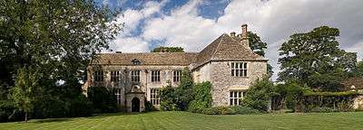
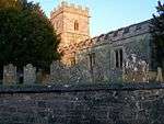
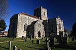
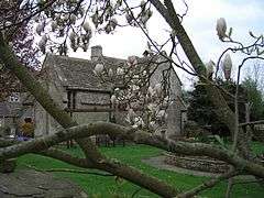
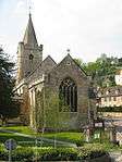
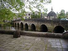
This list is of the nearly 300 Grade I listed buildings in the ceremonial county of Wiltshire,[3][4] by former district.[5] There is a characteristically large contribution from Church of England (Anglican) parish churches, and several great English country houses are included with some of their landscaping features. Several barns are included and Crofton Pumping Station is associated with water supply.
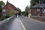
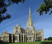
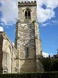
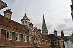
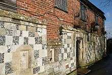
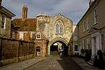
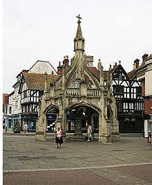
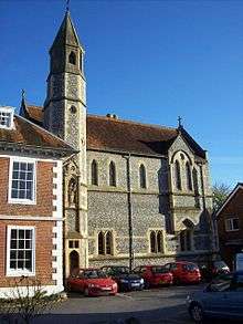
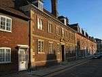
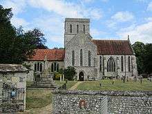
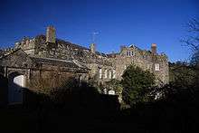
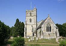
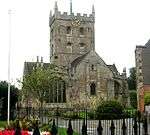
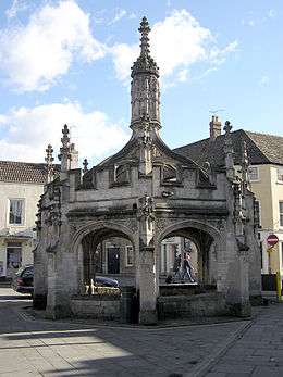
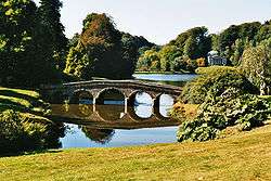
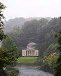
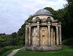
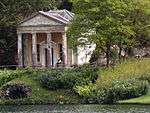
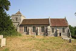
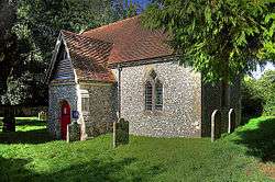
Salisbury


.jpg)
.jpg)
.jpg)


.jpg)


.jpg)

Swindon


Trowbridge
| Name | Location | Type | Completed [note 1] | Date designated | Grid ref.[note 2] Geo-coordinates |
Entry number [note 3] | Image |
|---|---|---|---|---|---|---|---|
| Lloyd's Bank | Trowbridge, Wiltshire | House | c. 1730 | 29 December 1950 | ST8555158077 51°19′18″N 2°12′31″W / 51.321611°N 2.208732°W |
1021586 | 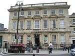 |
| Lovemead House | Trowbridge | House | 17th century | 29 December 1950 | ST8587258087 51°19′18″N 2°12′15″W / 51.321709°N 2.204126°W |
1021639 | 
|
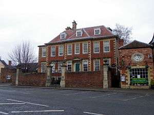
| Midland Bank | Trowbridge | Building | 1727 and 1741 | 29 December 1950 | ST8564958000 51°19′15″N 2°12′26″W / 51.320921°N 2.207322°W |
1284198 | .jpg) |
| Parade House | Trowbridge | House | c. 1730 | 29 December 1950 | ST8546958067 51°19′17″N 2°12′36″W / 51.321519°N 2.209908°W |
1364230 |
|
| 68 Fore Street | Trowbridge | House | before 1723 | 29 December 1950 | ST8549258090 51°19′18″N 2°12′34″W / 51.321726°N 2.209579°W |
1021588 |
|
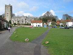
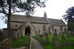
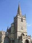
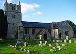
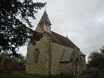
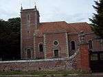
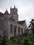
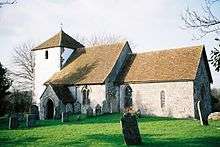
| Parish Church of St James | Trowbridge | Parish Church | Late 15th century | 29 December 1950 | ST8564158064 51°19′17″N 2°12′27″W / 51.321496°N 2.20744°W |
1284401 |  |
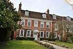
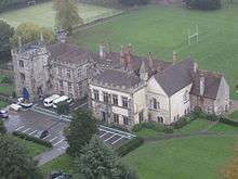
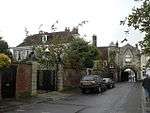
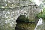
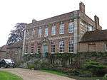
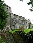
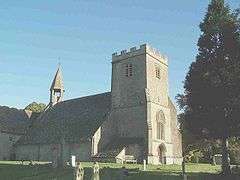
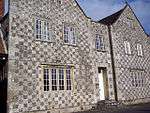
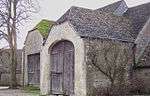
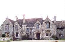
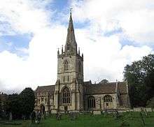
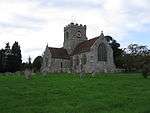
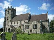
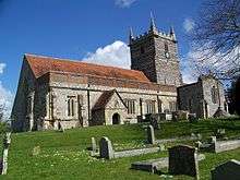
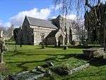
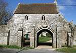
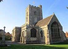
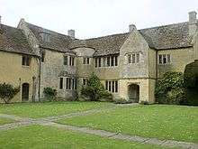
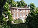
Wiltshire
.jpg)

.jpg)


.jpg)
.jpg)


.jpg)


.jpg)

.jpg)


.jpg)
.jpg)
.jpg)


.jpg)


_(geograph_2113602).jpg)


.jpg)


.jpg)


.jpg)


.jpg)


.jpg)


.jpg)
.jpg)

.jpg)
Notes
- 1 2 3 4 The date given is the date used by Historic England as significant for the initial building or that of an important part in the structure's description.
- 1 2 3 4 Sometimes known as OSGB36, the grid reference is based on the British national grid reference system used by the Ordnance Survey.
- 1 2 3 4 The "List Entry Number" is a unique number assigned to each listed building and scheduled monument by Historic England.
See also
- Category:Grade I listed buildings in Wiltshire
- List of Grade I listed buildings in Salisbury
- Grade II* listed buildings in Wiltshire
References and footnotes
- ↑ Government white paper (PDF).
- ↑ "Listed Buildings". English Heritage. 2010. Retrieved 26 August 2011.
- ↑ Images of England
- ↑ English Heritage Gateway
- ↑ Wiltshire became a unitary authority in April 2009, alongside Swindon, so these districts are historic
External links
![]() Media related to Grade I listed buildings in Wiltshire at Wikimedia Commons
Media related to Grade I listed buildings in Wiltshire at Wikimedia Commons