Gelli, Pembrokeshire
| Gelli | |
 Gelli bridge |
|
 Gelli |
|
| OS grid reference | SN082196 |
|---|---|
| Community | Llawhaden |
| Principal area | Pembrokeshire |
| Country | Wales |
| Sovereign state | United Kingdom |
| Post town | Narberth |
| Police | Dyfed-Powys |
| Fire | Mid and West Wales |
| Ambulance | Welsh |
| EU Parliament | Wales |
| UK Parliament | Carmarthen West and South Pembrokeshire |
|
|
Coordinates: 51°50′31″N 4°47′06″W / 51.842°N 4.785°W
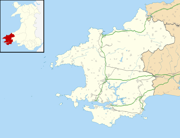
Gelli is a hamlet in the community and parish[1][2] of Llawhaden, Pembrokeshire, Wales, at the confluence of the Syfynwy and Cleddau Ddu rivers. It is 3 miles (5 km) northwest of Narberth and 8 miles (13 km) east of Haverfordwest. The nearest railway station is at Clunderwen 2 miles (3 km) to the east. There was a woollen mill in Gelli that ceased production in 1938.[3]
Bridges
Gelli Bridge, immediately to the east of Gelli, spans the Syfynwy a few yards before it joins the Eastern Cleddau and is Grade II listed; it is listed twice (with different IDs and dates) because it falls within two parishes.[4][5] This listed bridge is not to be confused with several other bridges in the vicinity which carry road and rail across the Eastern Cleddau and another tributary.[6]
Chapel
Siloam Welsh Baptist Church[7] is in the centre of the hamlet. It was built in 1858 and rebuilt in 1904.[8]
References
- ↑ "GENUKI: Llawhaden". Retrieved 28 April 2015.
- ↑ "GENUKI parish maps". Retrieved 28 April 2015.
- ↑ "Pembrokeshire Historian, 2-1966". Retrieved 28 April 2015.
- ↑ "British Listed Buildings: Gelli Bridge, Clynderwen (1997)". Retrieved 28 March 2016.
- ↑ "British Listed Buildings: Gelli Bridge (partly in Llawhaden community), Clynderwen (2004)". Retrieved 29 March 2016.
- ↑ Ordnance Survey
- ↑ "Siloam Welsh Baptist Church". Retrieved 28 April 2015.
- ↑ "Coflein: Siloam Welsh Baptist Church". Retrieved 28 April 2015.
External links
| Wikimedia Commons has media related to Gelli, Llawhaden. |