Fairfield, Tameside
| Fairfield | |
| Fairfield Moravian Church |
|
 Fairfield |
|
| OS grid reference | SJ901975 |
|---|---|
| Metropolitan borough | Tameside |
| Metropolitan county | Greater Manchester |
| Region | North West |
| Country | England |
| Sovereign state | United Kingdom |
| Post town | MANCHESTER |
| Postcode district | M43 |
| Dialling code | 0161 |
| Police | Greater Manchester |
| Fire | Greater Manchester |
| Ambulance | North West |
| EU Parliament | North West England |
| UK Parliament | Denton and Reddish |
|
|
Coordinates: 53°28′26″N 2°08′53″W / 53.474°N 2.148°W
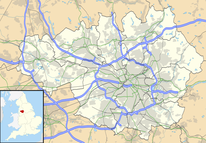
Fairfield is a suburb of Droylsden on the A635 road in Tameside, in the English county of Greater Manchester, and formerly in Lancashire. It is just south of the Ashton Canal. In the 19th century, it was described as "a seat of cotton manufacture."[1] W. M. Christy and Sons established a mill that produced the first woven towels in England at Fairfield Mill.[2]
Fairfield is the location of Fairfield High School for Girls, Fairfield railway station and a place of worship. The community has been home to members of the Moravian church for many years after Fairfield Moravian Church and Moravian Settlement were established in 1783.[3]
References
- ↑ Fairfield Lancashire, A Vision of Britain Through Time, retrieved 14 April 2012
- ↑ Droylsden and Fairfield. 1 miles E. from Manchester (p129), Graces Guide, retrieved 15 April 2012
- ↑ Township Information - Droylsden, Tameside Council, retrieved 15 April 2012
External links
| Wikimedia Commons has media related to Fairfield, Tameside. |
This article is issued from Wikipedia - version of the 1/19/2016. The text is available under the Creative Commons Attribution/Share Alike but additional terms may apply for the media files.