Eureka Aerodrome
"YEU" redirects here. For the French island, see Île d'Yeu.
| Eureka Aerodrome | |||||||||||
|---|---|---|---|---|---|---|---|---|---|---|---|
|
IATA: YEU – ICAO: CYEU – WMO: 71917 | |||||||||||
| Summary | |||||||||||
| Airport type | Private | ||||||||||
| Operator | Environment Canada | ||||||||||
| Location | Eureka, Nunavut | ||||||||||
| Time zone | CST (UTC−06:00) | ||||||||||
| • Summer (DST) | CDT (UTC−05:00) | ||||||||||
| Elevation AMSL | 272 ft / 83 m | ||||||||||
| Coordinates | 79°59′40″N 085°48′43″W / 79.99444°N 85.81194°WCoordinates: 79°59′40″N 085°48′43″W / 79.99444°N 85.81194°W | ||||||||||
| Map | |||||||||||
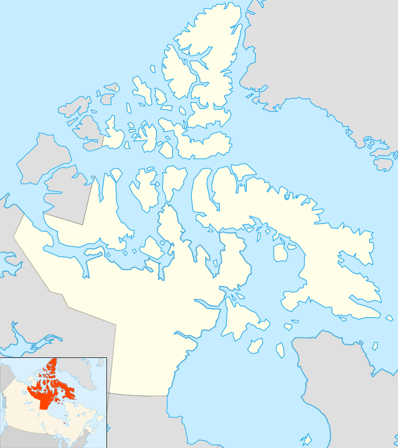 CYEU Location in Nunavut | |||||||||||
| Runways | |||||||||||
| |||||||||||
| Statistics (2010) | |||||||||||
| |||||||||||
Eureka Aerodrome (IATA: YEU, ICAO: CYEU) is located at Eureka, Nunavut, Canada, and is operated by Environment Canada.
References
- ↑ Canada Flight Supplement. Effective 0901Z 15 September 2016 to 0901Z 10 November 2016
- ↑ Synoptic/Metstat Station Information
- ↑ Total aircraft movements by class of operation
External links
- Past three hours METARs, SPECI and current TAFs for Eureka Airport from Nav Canada as available.
| By name | |
|---|---|
| By location indicator | |
| By province/territory | |
| By region | |
| National Airports System | |
| Related | |
| |
This article is issued from Wikipedia - version of the 12/4/2016. The text is available under the Creative Commons Attribution/Share Alike but additional terms may apply for the media files.