El Papalon Airport
| El Papalon Airport San Miguel Regional Airport | |||||||||||
|---|---|---|---|---|---|---|---|---|---|---|---|
| IATA: none – ICAO: MSSM | |||||||||||
| Summary | |||||||||||
| Airport type | Public | ||||||||||
| Serves | San Miguel | ||||||||||
| Elevation AMSL | 285 ft / 87 m | ||||||||||
| Coordinates | 13°26′40″N 88°07′40″W / 13.44444°N 88.12778°WCoordinates: 13°26′40″N 88°07′40″W / 13.44444°N 88.12778°W | ||||||||||
| Map | |||||||||||
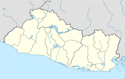 MSSM Location of the airport in El Salvador | |||||||||||
| Runways | |||||||||||
| |||||||||||
|
Source: Google Maps[1] | |||||||||||
El Papalon Airport (ICAO: MSSM) is an airport serving the city of San Miguel in San Miguel Department, El Salvador. The runway is 5 kilometres (3.1 mi) southeast of the city, alongside the Pan American Highway.
The La Aramuaca Airport runway parallels the El Papalon runway, and is only 800 metres (2,600 ft) northeast.[2]
See also
 Aviation portal
- List of airports in El Salvador
References
External links
This article is issued from Wikipedia - version of the 3/7/2016. The text is available under the Creative Commons Attribution/Share Alike but additional terms may apply for the media files.