Ekati Airport
| Ekati Airport | |||||||||||
|---|---|---|---|---|---|---|---|---|---|---|---|
 Ekati Airport at left centre, with the four pits of the mine, August 2010 | |||||||||||
| IATA: YOA – ICAO: CYOA | |||||||||||
| Summary | |||||||||||
| Airport type | Private | ||||||||||
| Operator | BHP Billiton Canada Inc. | ||||||||||
| Location | Ekati Diamond Mine | ||||||||||
| Time zone | MST (UTC−07:00) | ||||||||||
| • Summer (DST) | MDT (UTC−06:00) | ||||||||||
| Elevation AMSL | 1,536 ft / 468 m | ||||||||||
| Coordinates | 64°41′56″N 110°36′53″W / 64.69889°N 110.61472°WCoordinates: 64°41′56″N 110°36′53″W / 64.69889°N 110.61472°W | ||||||||||
| Map | |||||||||||
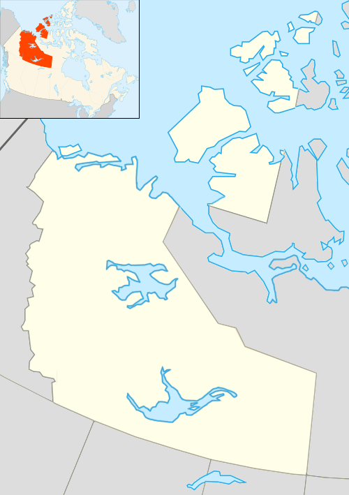
 CYOA Location in the Northwest Territories | |||||||||||
| Runways | |||||||||||
| |||||||||||
|
Source: Canada Flight Supplement[1] | |||||||||||
Ekati Airport (IATA: YOA, ICAO: CYOA) is located at the Ekati Diamond Mine, Northwest Territories, Canada and is operated by BHP Billiton Canada Inc.[2] Prior permission is required to land except in the case of an emergency. It is a busy aerodrome with blasting in the area and barren-ground caribou may be found on the runway.[1]
Airlines and destinations
| Airlines | Destinations |
|---|---|
| First Air | Charter: Yellowknife |
References
- 1 2 Canada Flight Supplement. Effective 0901Z 15 September 2016 to 0901Z 10 November 2016
- ↑ "EKATI Diamond Mine 2009 Year in Review" (PDF). BHP Billiton Canada Inc. 2009. Retrieved 2010-06-06.
External links
- Past three hours METARs, SPECI and current TAFs for Ekati Airport from Nav Canada as available.
This article is issued from Wikipedia - version of the 12/4/2016. The text is available under the Creative Commons Attribution/Share Alike but additional terms may apply for the media files.