Dunglow Lough
| Dunglow Lough Loch an Chlocháin Léith | |
|---|---|
 | |
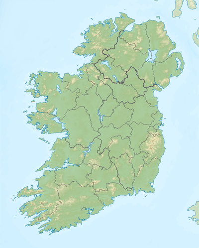 Location in Ireland | |
| Location | County Donegal |
| Coordinates | 54°57′16″N 8°20′35″W / 54.95444°N 8.34306°WCoordinates: 54°57′16″N 8°20′35″W / 54.95444°N 8.34306°W |
| Primary inflows | Lough Craghy |
| Primary outflows | Dungloe River |
| Catchment area | 37.67 km2 (14.5 sq mi) |
| Basin countries | Ireland |
| Max. length | 1.4 km (1 mi) |
| Max. width | 0.7 km (0.4 mi) |
| Surface area | 0.61 km2 (0.24 sq mi) |
| Average depth | 1.3 m (4 ft 3 in) |
| Max. depth | 7.5 m (25 ft) |
| Surface elevation | 13 m (43 ft) |
| Islands | Flat Island, Fern Island, Black Island, Brush Island, Wren Island |
| References | [1][2][3] |
Dunglow Lough (Irish: Loch an Chlocháin Léith),[4] also known as Dungloe Lough, is a freshwater lake in the northwest of Ireland. It is located in north County Donegal in the Rosses fishery.
Geography
Dunglow Lough is 1 kilometre (0.6 mi) east of Dungloe.[3] It measures about 1.5 km (0.9 mi) long and 1 km (0.6 mi) wide.[2] The lake has five named islands.[3]
Hydrology
Dunglow Lough is fed on its eastern side by neighbouring Lough Craghy. The lake drains westwards into the Dungloe River.[2]
Natural history
Fish species in Dunglow Lough include brown trout, salmon and the critically endangered European eel.[3]
See also
References
- ↑ "A Reference Based Typology and Ecological Assessment System for Irish Lakes" (PDF). Environmental Protection Agency (Ireland). 2006. p. 17. Retrieved 4 Feb 2016.
- 1 2 3 Google (4 Feb 2016). "Dunglow Lough" (Map). Google Maps. Google. Retrieved 4 Feb 2016.
- 1 2 3 4 "Water Framework Directive Fish Stock Survey of Dunglow Lough" (PDF). Inland Fisheries Ireland. Aug 2012. Retrieved 4 Feb 2016.
- ↑ "Loch an Chlocháin Léith/Dunglow Lough". Placenames Database of Ireland. Government of Ireland - Department of Arts, Heritage and the Gaeltacht and Dublin City University. Retrieved 4 Feb 2016.
This article is issued from Wikipedia - version of the 2/5/2016. The text is available under the Creative Commons Attribution/Share Alike but additional terms may apply for the media files.