Djambala Airport
| Djambala Airport | |||||||||||
|---|---|---|---|---|---|---|---|---|---|---|---|
| IATA: DJM – ICAO: FCBD | |||||||||||
| Summary | |||||||||||
| Serves | Djambala, Republic of the Congo | ||||||||||
| Elevation AMSL | 2,595 ft / 791 m | ||||||||||
| Coordinates | 2°31′10″S 14°45′10″E / 2.51944°S 14.75278°ECoordinates: 2°31′10″S 14°45′10″E / 2.51944°S 14.75278°E | ||||||||||
| Map | |||||||||||
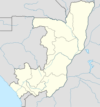 DJM Location of airport in the Republic of the Congo | |||||||||||
| Runways | |||||||||||
| |||||||||||
Djambala Airport (IATA: DJM, ICAO: FCBD) is an airport serving the city of Djambala, in the Plateaux Department, Republic of the Congo.
See also
 Republic of the Congo portal
 Aviation portal
- List of airports in the Republic of the Congo
- Transport in the Republic of the Congo
References
- ↑ Airport information for DJM at Great Circle Mapper.
- ↑ Google Maps - Djambala
External links
This article is issued from Wikipedia - version of the 6/14/2016. The text is available under the Creative Commons Attribution/Share Alike but additional terms may apply for the media files.