Deomali (mountain)
This article is about the mountain. For the town, see Deomali.
| Deomali | |
|---|---|
| ଦେଓମାଳୀ | |
 | |
| Highest point | |
| Elevation | 1,672 m (5,486 ft) |
| Listing | List of Indian states and territories by highest point |
| Coordinates | 18°40′32″N 82°58′54″E / 18.67556°N 82.98167°ECoordinates: 18°40′32″N 82°58′54″E / 18.67556°N 82.98167°E [1] |
| Geography | |
 Deomali Location of Deomali peak | |
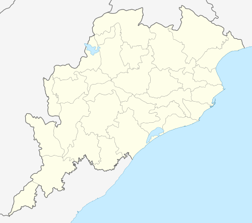
| Location | Koraput district, Odisha, India |
| Parent range | Eastern Ghats |
| Topo map | Google topographic map[2] |
| Climbing | |
| Easiest route | Hike / scramble |
Deomali, is a mountain peak in the Chandragiri-Pottangi subrange of the Eastern Ghats. It is located near Koraput town in the Koraput district of southern Odisha, India.
Highest point in Odisha
At 1672 m Deomali is the highest mountain peak in the state of Odisha. It is also one of the tallest peaks of the Eastern Ghats. The peak has a good surrounding scenery.[3]
See also
References
External links
| Governance |
|  |
|---|---|---|
| Topics | ||
| GI Products | ||
| Districts | ||
| Cities | ||
This article is issued from Wikipedia - version of the 1/12/2016. The text is available under the Creative Commons Attribution/Share Alike but additional terms may apply for the media files.